


Heritage route
Vale of Rheidol Railway
Aberystwyth → Devil’s Bridge · Wales
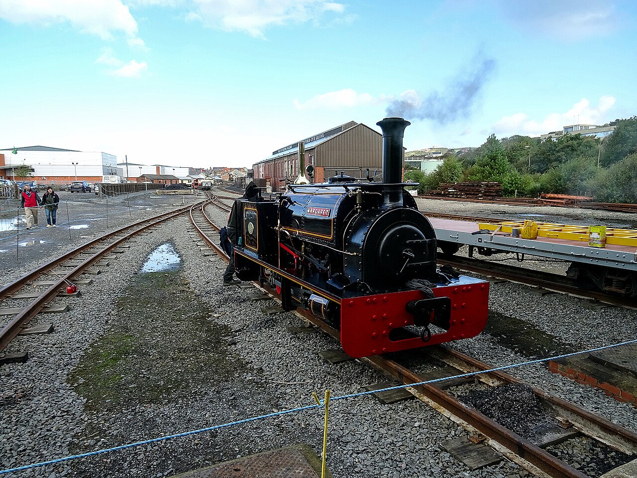
Narrow-gauge steam grinding 200 m uphill from the sea at Aberystwyth to the wooded gorge of Devil’s Bridge: the last steam line British Rail ever ran.
- Distance
- 19 km
- Fastest time
- 1 h
- Average speed
- 19 km/h
- Top speed
- 24 km/h
Stations
- 0 kmAberystwyth +1
- 0 kmVale of Rheidol
- 2 kmLlanbadarn
- 3 kmGlanyrafon
- 7 kmCapel Bangor
- 10 kmNantyronen
- 12 kmAberffrwd
- 15 kmRheidol Falls
- 17 kmRhiwfron
- 19 kmDevil's Bridge
The stations OpenStreetMap maps along this line, in order along the line as drawn here, with the distance along it. Not every train stops at every station. A +N after a station: N other routes on this map stop or end there, and the map draws it as a station where lines meet.
How this line was checked
- Line drawn from OpenStreetMap relation 163545: the same nodes OpenStreetMap holds for this railway, thinned to within under 25 m of them
- Checked against OpenStreetMap: the whole line lies on real track, a median 4 m from it
- The operator publishes this line's timetable: Vale of Rheidol Railway, a place to look it up, not a check of our drawing
- Wikipedia has an article for this line
- See for yourself: open this line on the map with OpenStreetMap's own railway drawn underneath it
Questions and answers
How long is the Vale of Rheidol Railway?
The Vale of Rheidol Railway runs 19 km from Aberystwyth to Devil’s Bridge.
How long does the Vale of Rheidol Railway take?
The fastest scheduled journey is 1 h for the 19 km. That is an average of 19 km/h end to end. The line's top service speed is 24 km/h.
Who runs the Vale of Rheidol Railway?
Vale of Rheidol Railway, with Narrow-gauge steam.
How old is the Vale of Rheidol Railway?
The line has been in service since 1902. That is the year the atlas dates it from: for a modern brand running over an older railway, it is the railway's date, not the brand's.
More heritage routes
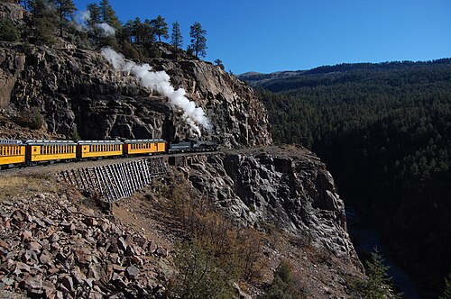
- Durango & Silverton
1882 gold-rush narrow gauge: steam-hauled ever since, on the Highline ledge blasted 120 m above the Animas River gorge.
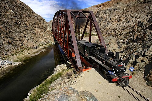
Wikipedia ↗ - La Trochita
Theroux’s Old Patagonian Express: 750 mm gauge, 1922 steam locomotives and wood-stove-heated wooden coaches across the steppe.
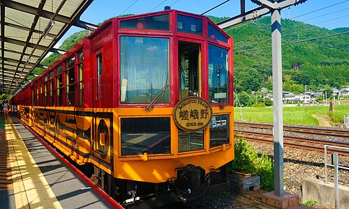
Wikipedia ↗ - Sagano Scenic Railway
A retired JR alignment above the Hozugawa rapids: twenty-five slow minutes of maples and gorge that the modern main line skips through tunnels.
Wikipedia ↗ - SL Gunma
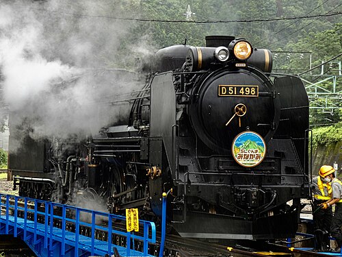
Restored D51 498 “Degoichi” and C61 20 haul retro coaches up the Joetsu Line on weekends: steam echoing off the Tone gorge under Tanigawa’s wall.
Wikipedia (JA) ↗

More train routes in United Kingdom · Wales.