
Mountain route
Funicular de Santiago
Santiago (Plaza Caupolicán) → Cerro San Cristóbal · Chile
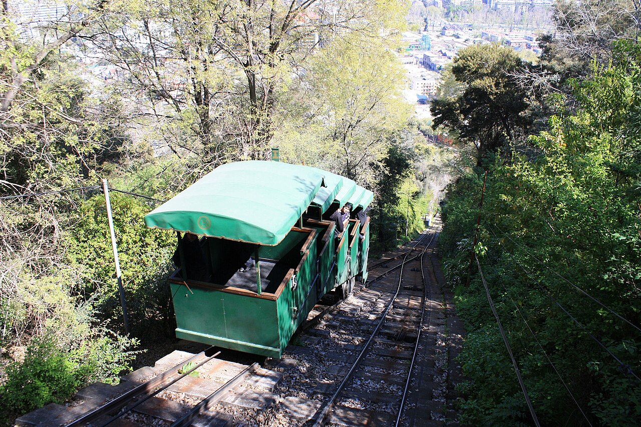
A 1925 funicular and national monument rising to Santiago’s hilltop Virgin — Pope John Paul II rode it during his 1987 visit.
How this line was checked
- Line drawn from OpenStreetMap relation 10939051 — the same nodes OpenStreetMap holds for this railway, thinned to within under 25 m of them
- Checked against OpenStreetMap: the whole line lies on real track, a median 1 m from it
- Wikipedia has an article for this line
- See for yourself: open this line on the map with OpenStreetMap's own railway drawn underneath it
Questions and answers
How long is the Funicular de Santiago?
The Funicular de Santiago runs 490 m from Santiago (Plaza Caupolicán) to Cerro San Cristóbal.
How long does the Funicular de Santiago take?
The fastest scheduled journey is 6 min for the 490 m. That is an average of 5 km/h end to end.
Who runs the Funicular de Santiago?
Turistik (Parquemet), with two 1925 counterbalanced cars, rebuilt 2020–22, zoo mid-station.
How old is the Funicular de Santiago?
The line has been in service since 1925. That is the year the atlas dates it from: for a modern brand running over an older railway, it is the railway's date, not the brand's.
More mountain routes
- Jungfraubahn
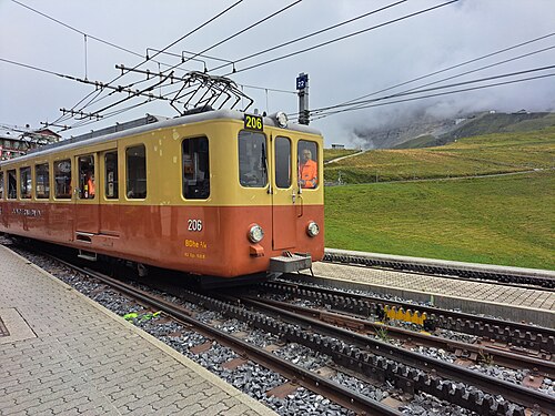
Tunnels INSIDE the Eiger to Europe’s highest station at 3,454 m, the “Top of Europe” since 1912.
Wikipedia ↗ - Nilgiri Mountain Railway
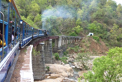
India’s only rack railway: X-class steam pushes the blue coaches up 1-in-12 grades from palm plains to Ooty’s tea hills; UNESCO-listed in 2005.
Wikipedia ↗ - West Coast Wilderness Railway
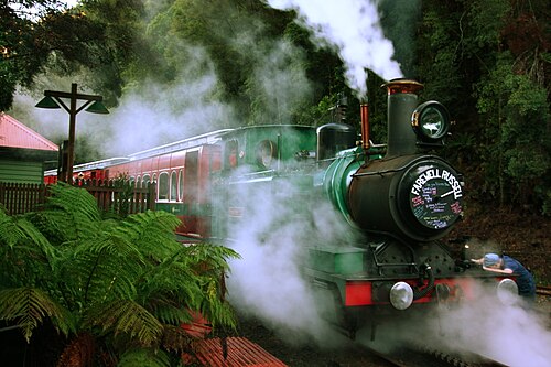
The 1896 copper railway hauls itself up 1-in-16 grades on Abt rack cogs, steaming once more from Queenstown’s bare hills into the King River rainforest.
Wikipedia ↗ - Gornergrat Bahn
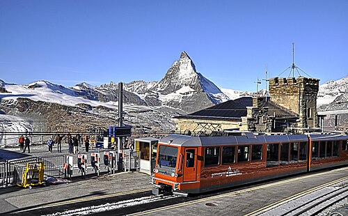
Europe’s highest open-air railway climbs from Zermatt to 3,089 m: the Matterhorn framed in the window from the first curve to the summit ridge.
Wikipedia ↗
More train routes in Chile.