
Scenic route
G-train (West Gold)
Seoul → Iksan · South Korea
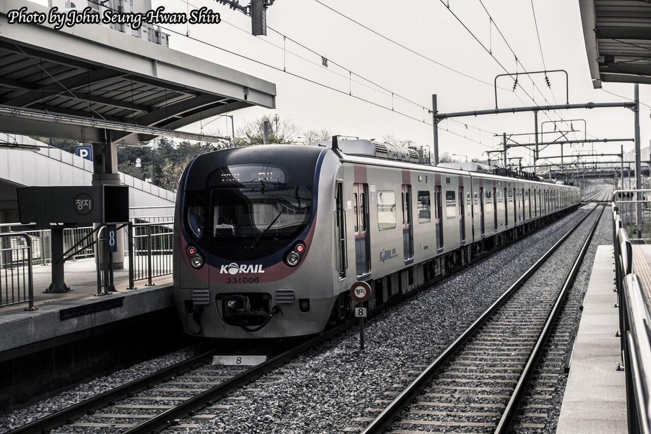
The West Gold train ambles down the Janghang line’s tidal-flat coast, foot baths steaming on board, with Daecheon beach and the Geum estuary out the window.
How this line was checked
- The 116 km this route shares with OpenStreetMap relation 8692707 is drawn from that relation's own nodes, thinned to within under 25 m of them
- Checked against OpenStreetMap: 87.6% of this line lies within 250 m of real track (median 13 m); the longest stretch away from it is 7.5 km
- The operator publishes this line's timetable: Korail — a place to look it up, not a check of our drawing
- Wikipedia has an article for this line
- See for yourself: open this line on the map with OpenStreetMap's own railway drawn underneath it
Questions and answers
How long is the G-train (West Gold)?
The G-train (West Gold) runs 250 km from Seoul to Iksan.
How long does the G-train (West Gold) take?
The fastest scheduled journey is 3 h 26 min for the 250 km. That is an average of 73 km/h end to end. The line's top service speed is 150 km/h.
Who runs the G-train (West Gold)?
Korail, with converted Mugunghwa tourist rake.
How old is the G-train (West Gold)?
The line has been in service since 2015. That is the year the atlas dates it from: for a modern brand running over an older railway, it is the railway's date, not the brand's.
More scenic routes
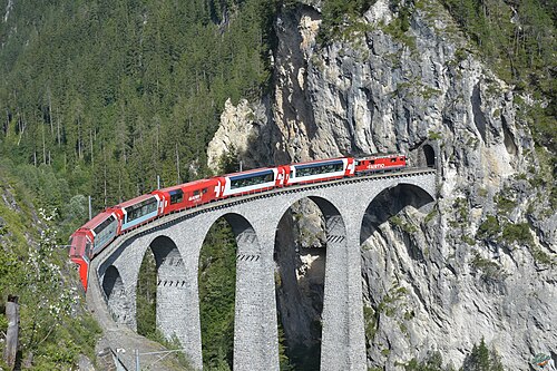
- Glacier Express
“The world’s slowest express”: 291 bridges, 91 tunnels and the 2,033 m Oberalp Pass at an average of 36 km/h.
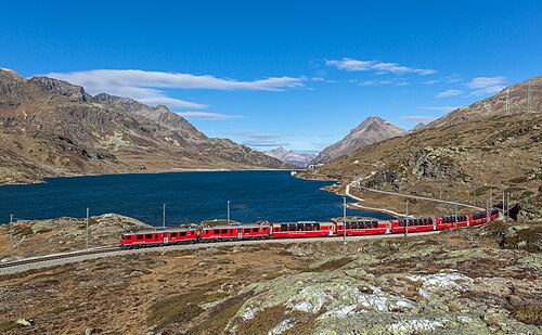
Wikipedia ↗ - Bernina Express
A UNESCO World Heritage railway: 7 % grades with no rack, the Brusio spiral, and the highest rail crossing of the Alps at 2,253 m.
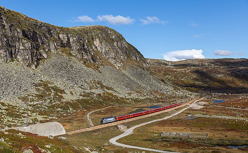
Wikipedia ↗ - Bergensbanen
Northern Europe’s highest main line: over the bare Hardangervidda plateau at 1,237 m, through 182 tunnels.
Wikipedia ↗ - West Highland Line
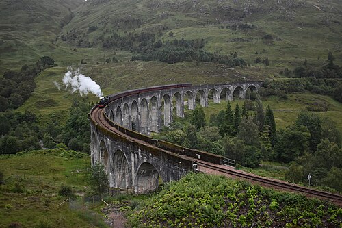
Regularly voted the world’s most scenic railway: around Rannoch Moor and over the 21-arch Glenfinnan Viaduct of film fame.
Wikipedia ↗
More train routes in South Korea.