
Scenic route
West Highland Line
Glasgow → Mallaig · Scotland
View on the map →Wikipedia ↗Stations · 26
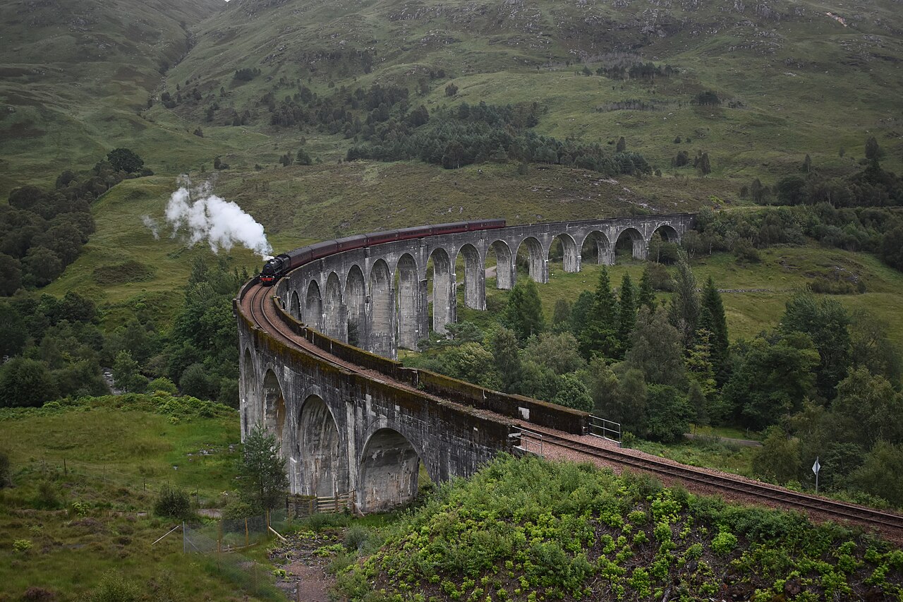
Regularly voted the world’s most scenic railway: around Rannoch Moor and over the 21-arch Glenfinnan Viaduct of film fame.
North of Craigendoran the line abandons the Clyde commuter belt and sets off alone across country no road dares follow. It rounds the Horseshoe Curve beneath Beinn Dòrain, floats over blanket bog on a mattress of brushwood and ash, and calls at Corrour, a platform miles from the nearest public road. Beyond Fort William comes the 1901 Mallaig Extension: concrete viaducts, white-sand beaches and the Small Isles on the horizon before the fishing boats of Mallaig.
Stations
- 0 kmGlasgow Queen Street (High Level)
- 16 kmDalmuir
- 26 kmDumbarton Central
- 40 kmHelensburgh Upper
- 51 kmGarelochhead
- 68 kmArrochar and Tarbet
Show 15 more stations
- 81 kmArdlui
- 95 kmCrianlarich
- 103 kmUpper Tyndrum
- 115 kmBridge of Orchy
- 140 kmRannoch
- 151 kmCorrour
- 167 kmTulloch
- 176 kmRoy Bridge
- 181 kmSpean Bridge
- 194 kmFort William
- 197 kmBanavie
- 198 kmCorpach
- 203 kmLoch Eil Outward Bound
- 209 kmLocheilside
- 220 kmGlenfinnan
- 234 kmLochailort
- 242 kmBeasdale
- 247 kmArisaig
- 254 kmMorar
- 259 kmMallaig
The stations OpenStreetMap lists for this service, in order, with the distance along the line as drawn here. A train may skip some of them.
Along the way
- Loch Long and Loch Lomond shores
- Horseshoe Curve below Beinn Dòrain
- Corrour — Britain’s highest station
- Ben Nevis above Fort William
- Glenfinnan Viaduct over Loch Shiel
- silver sands of Morar
How this line was checked
- Line drawn from OpenStreetMap relation 3224918 — the same nodes OpenStreetMap holds for this railway, thinned to within 42 m of them
- Checked against OpenStreetMap: the whole line lies on real track, a median 15 m from it
- The operator publishes this line's timetable: ScotRail timetables — a place to look it up, not a check of our drawing
- Wikipedia has an article for this line
- See for yourself: open this line on the map with OpenStreetMap's own railway drawn underneath it
Questions and answers
How long is the West Highland Line?
The West Highland Line runs 264 km from Glasgow to Mallaig.
How long does the West Highland Line take?
The fastest scheduled journey is 5 h 20 min for the 264 km. That is an average of 50 km/h end to end. The line's top service speed is 100 km/h.
Who runs the West Highland Line?
ScotRail, with Class 156, Jacobite steam.
How old is the West Highland Line?
The line has been in service since 1901. That is the year the atlas dates it from: for a modern brand running over an older railway, it is the railway's date, not the brand's.
How high does the West Highland Line climb?
410 m above sea level at its highest point.
More scenic routes
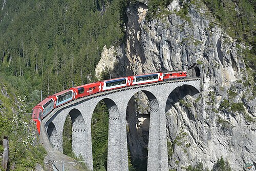
- Glacier Express
“The world’s slowest express”: 291 bridges, 91 tunnels and the 2,033 m Oberalp Pass at an average of 36 km/h.
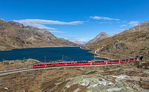
Wikipedia ↗ - Bernina Express
A UNESCO World Heritage railway: 7 % grades with no rack, the Brusio spiral, and the highest rail crossing of the Alps at 2,253 m.
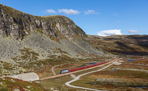
Wikipedia ↗ - Bergensbanen
Northern Europe’s highest main line: over the bare Hardangervidda plateau at 1,237 m, through 182 tunnels.
Wikipedia ↗ - Qinghai–Tibet Railway
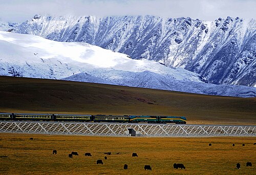
The roof-of-the-world railway: 5,072 m over the Tanggula Pass on permafrost, with oxygen piped to every seat.
Wikipedia ↗
More train routes in United Kingdom · Scotland.