


Scenic route
Kusttram
De Panne → Knokke · Belgium
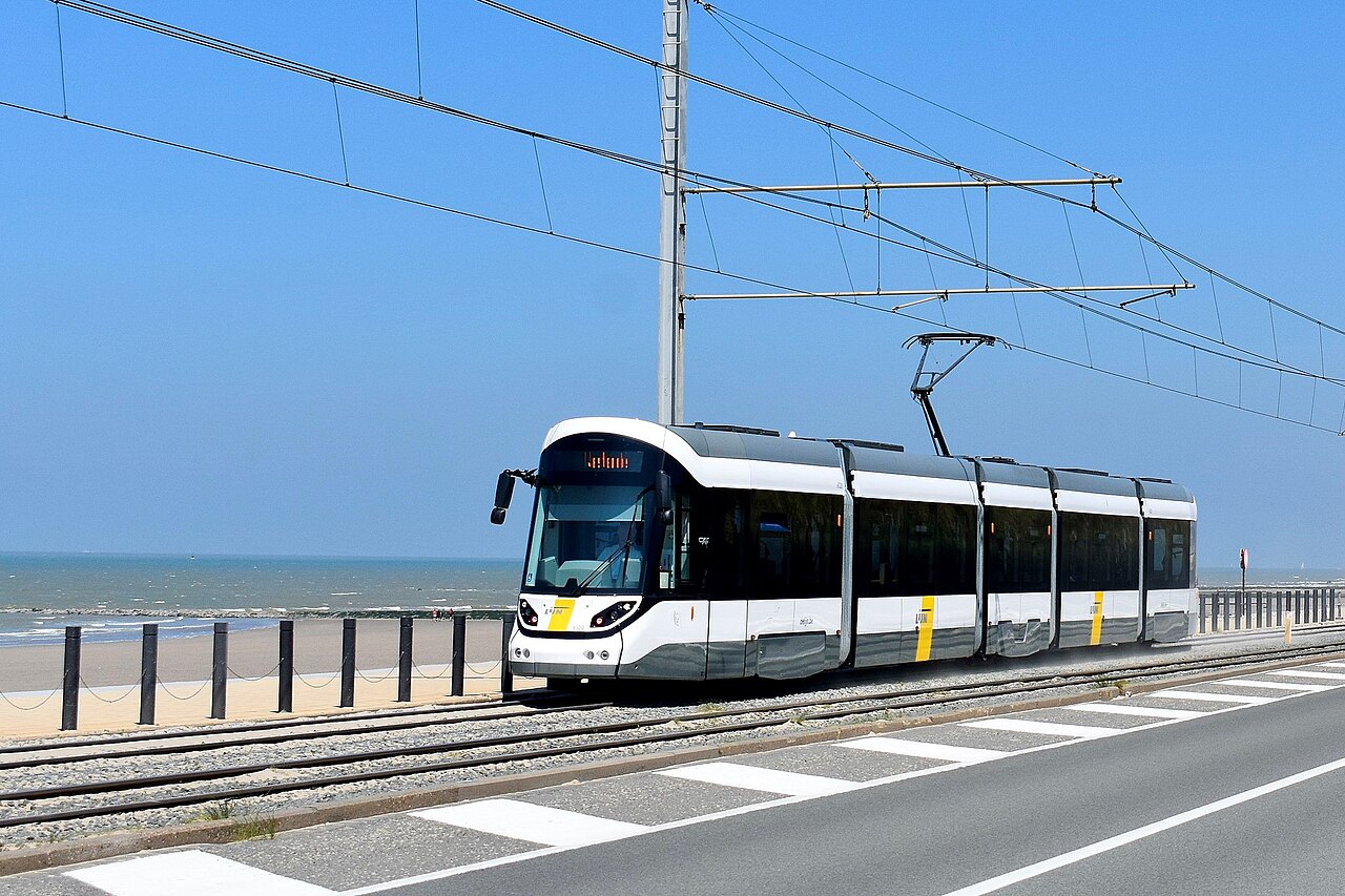
The world’s longest tram line: 67 km of metre-gauge track hugging the entire Belgian coast from De Panne to Knokke, calling at 68 stops.
- Distance
- 67 km
- Fastest time
- 2 h 20 min
- Average speed
- 29 km/h
- Top speed
- 70 km/h
Stations
- 0 kmDe Panne Esplanade
- 1 kmDe Panne Canadezenplein
- 2 kmKoksijde Sint-Idesbald
- 3 kmKoksijde Ster der Zee
- 4 kmKoksijde Bad
- 5 kmKoksijde Lejeunelaan
Show 51 more stations
- 6 kmOostduinkerke Schipgat
- 7 kmOostduinkerke Bad
- 8 kmOostduinkerke Duinpark
- 9 kmOostduinkerke Groenendijk
- 10 kmNieuwpoort Sint-Bernardusplein
- 11 kmNieuwpoort Bad
- 12 kmNieuwpoort Victorlaan
- 13 kmNieuwpoort Cardijnlaan
- 14 kmNieuwpoort Stad
- 16 kmLombardsijde Schoolstraat
- 16 kmLombardsijde Zeelaan
- 18 kmWestende Sint-Laureins
- 19 kmWestende Bad
- 20 kmWestende Bellevue
- 21 kmMiddelkerke Krokodiel
- 22 kmMiddelkerke Verhaeghelaan
- 23 kmMiddelkerke Casino
- 23 kmMiddelkerke De Greefplein
- 25 kmRaversijde Provinciedomein
- 26 kmRaversijde Middenlaan
- 28 kmMariakerke Duinenkerkje
- 28 kmMariakerke Bad
- 29 kmOostende Northlaan
- 30 kmOostende Renbaan
- 30 kmOostende Koninginnelaan
- 31 kmOostende Marie-Joséplein
- 32 kmOostende +3
- 34 kmOostende Vismijn
- 35 kmOostende Oosteroever
- 37 kmBredene Duinenplein
- 38 kmBredene Campings
- 39 kmBredene Renbaan
- 41 kmDe Haan Vosseslag
- 42 kmDe Haan Zeepreventorium
- 43 kmDe Haan Aan Zee
- 44 kmDe Haan Waterkasteellaan
- 45 kmDe Haan Zwarte Kiezel
- 46 kmWenduine Konijnenpad
- 47 kmWenduine Molen
- 48 kmWenduine Centrum
- 48 kmWenduine Manitoba
- 50 kmWenduine Harendijke
- 51 kmBlankenberge Maritieme Zone
- 51 kmBlankenberge Markt
- 52 kmBlankenberge
- 53 kmBlankenberge Pier
- 54 kmBlankenberge Duinse Polders
- 56 kmZeebrugge Strandwijk
- 57 kmZeebrugge Stationswijk
- 58 kmZeebrugge Kerk
- 59 kmZeebrugge Zeesluis
- 60 kmHeist Dijk
- 61 kmHeist Heldenplein
- 62 kmHeist Willemspark
- 62 kmDuinbergen Kerk
- 64 kmKnokke
The stations OpenStreetMap lists for this service, in order, with the distance along the line as drawn here. A train may skip some of them. A +N after a station: N other routes on this map stop or end there, and the map draws it as a station where lines meet.
How this line was checked
- Line drawn from OpenStreetMap relation 3348003: the same nodes OpenStreetMap holds for this railway, thinned to within under 25 m of them
- Checked against OpenStreetMap: the whole line lies on real track, a median 4 m from it
- The operator publishes this line's timetable: De Lijn, a place to look it up, not a check of our drawing
- Wikipedia has an article for this line
Questions and answers
How long is the Kusttram?
The Kusttram runs 67 km from De Panne to Knokke.
How long does the Kusttram take?
The fastest scheduled journey is 2 h 20 min for the 67 km. That is an average of 29 km/h end to end. The line's top service speed is 70 km/h.
Who runs the Kusttram?
De Lijn, with Coast tram.
How old is the Kusttram?
The line has been in service since 1885. That is the year the atlas dates it from: for a modern brand running over an older railway, it is the railway's date, not the brand's.
More scenic routes
- Glacier Express
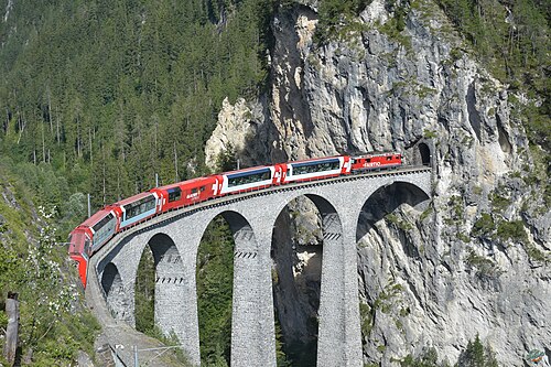
“The world’s slowest express”: 291 bridges, 91 tunnels and the 2,033 m Oberalp Pass at an average of 36 km/h.
Wikipedia ↗ - Bernina Express
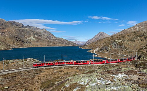
A UNESCO World Heritage railway: 7 % grades with no rack, the Brusio spiral, and the highest rail crossing of the Alps at 2,253 m.
Wikipedia ↗ - Bergensbanen
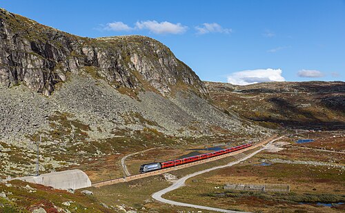
Northern Europe’s highest main line: over the bare Hardangervidda plateau at 1,237 m, through 182 tunnels.
Wikipedia ↗ - West Highland Line
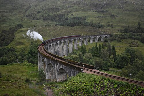
Regularly voted the world’s most scenic railway: around Rannoch Moor and over the 21-arch Glenfinnan Viaduct of film fame.
Wikipedia ↗

More train routes in Belgium.