
Mountain route
Mont-Blanc Tramway
Saint-Gervais → Nid d’Aigle · France
View on the map →Wikipedia ↗Stations · 9
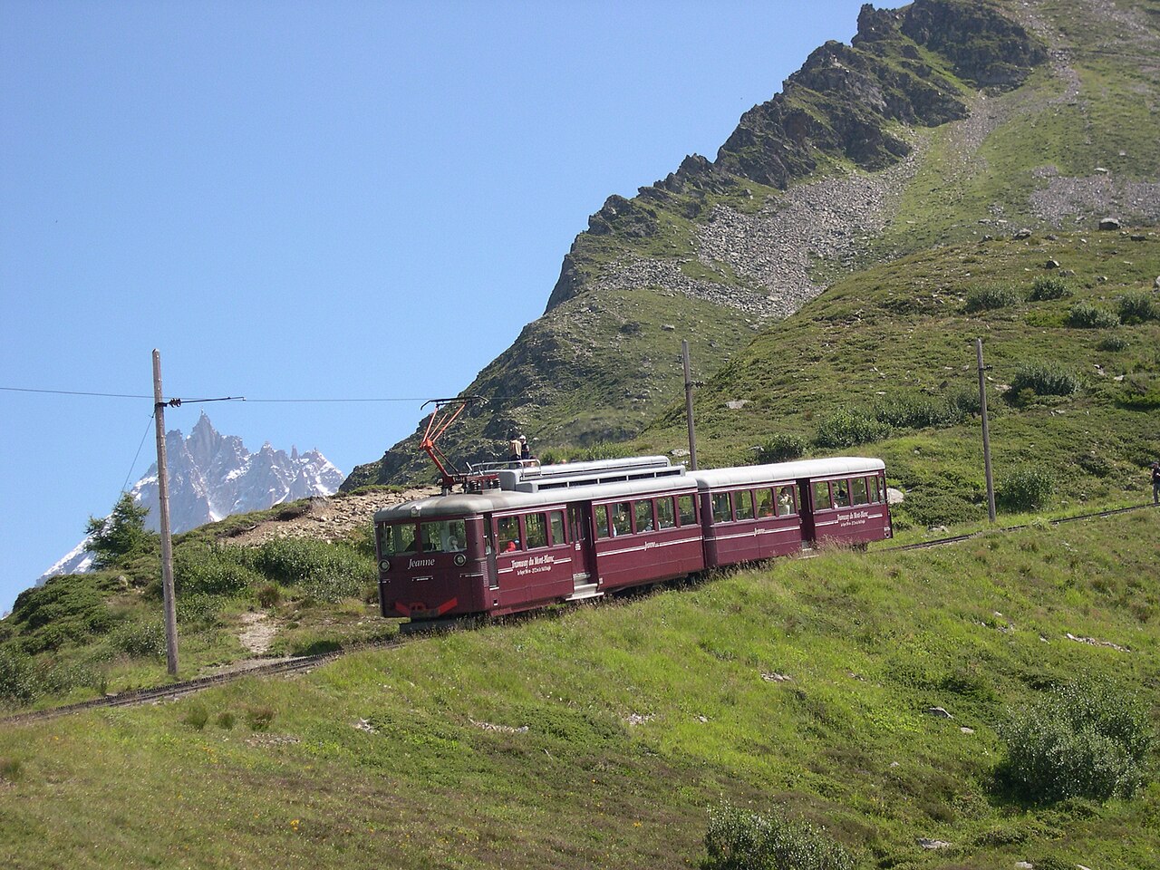
France’s highest railway grinds up the flank of Mont Blanc to the Nid d’Aigle at 2,372 m, where the climbers’ route to the summit begins.
Stations
- 0 kmLe Fayet - Gare
- 1 kmSaint-Gervais-les-Bains
- 4 kmMotivon
- 5 kmLes Sellières
- 6 kmTête du Chêne
- 6 kmLes Tuffes
- 7 kmCol de Voza
- 9 kmBellevue
- 10 kmMont Lachat
The stations OpenStreetMap lists for this service, in order, with the distance along the line as drawn here. A train may skip some of them.
How this line was checked
- Line drawn from OpenStreetMap relation 1050530 — the same nodes OpenStreetMap holds for this railway, thinned to within under 25 m of them
- Checked against OpenStreetMap: the whole line lies on real track, a median 3 m from it
- The operator publishes this line's timetable: the railway’s own site — a place to look it up, not a check of our drawing
- Wikipedia has an article for this line
- See for yourself: open this line on the map with OpenStreetMap's own railway drawn underneath it
Questions and answers
How long is the Mont-Blanc Tramway?
The Mont-Blanc Tramway runs 12 km from Saint-Gervais to Nid d’Aigle.
How long does the Mont-Blanc Tramway take?
The fastest scheduled journey is 1 h 10 min for the 12 km. That is an average of 10 km/h end to end. The line's top service speed is 20 km/h.
Who runs the Mont-Blanc Tramway?
Compagnie du Mont-Blanc, with rack railcars.
How old is the Mont-Blanc Tramway?
The line has been in service since 1913. That is the year the atlas dates it from: for a modern brand running over an older railway, it is the railway's date, not the brand's.
More mountain routes
- Jungfraubahn
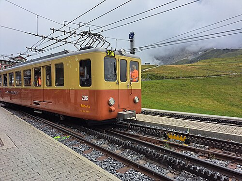
Tunnels INSIDE the Eiger to Europe’s highest station at 3,454 m, the “Top of Europe” since 1912.
Wikipedia ↗ - Nilgiri Mountain Railway
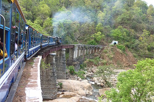
India’s only rack railway: X-class steam pushes the blue coaches up 1-in-12 grades from palm plains to Ooty’s tea hills; UNESCO-listed in 2005.
Wikipedia ↗ - West Coast Wilderness Railway
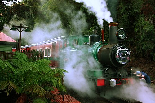
The 1896 copper railway hauls itself up 1-in-16 grades on Abt rack cogs, steaming once more from Queenstown’s bare hills into the King River rainforest.
Wikipedia ↗ - Gornergrat Bahn
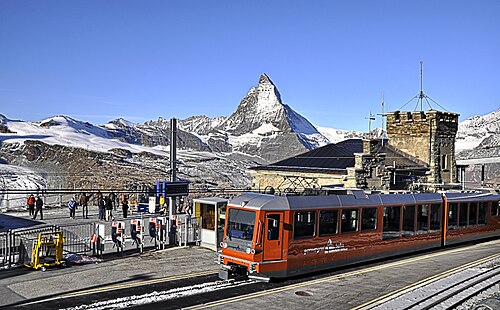
Europe’s highest open-air railway climbs from Zermatt to 3,089 m: the Matterhorn framed in the window from the first curve to the summit ridge.
Wikipedia ↗
More train routes in France.