
Mountain route
Montmartre Funicular
Paris (Place Saint-Pierre) → Montmartre (Sacré-Cœur) · France
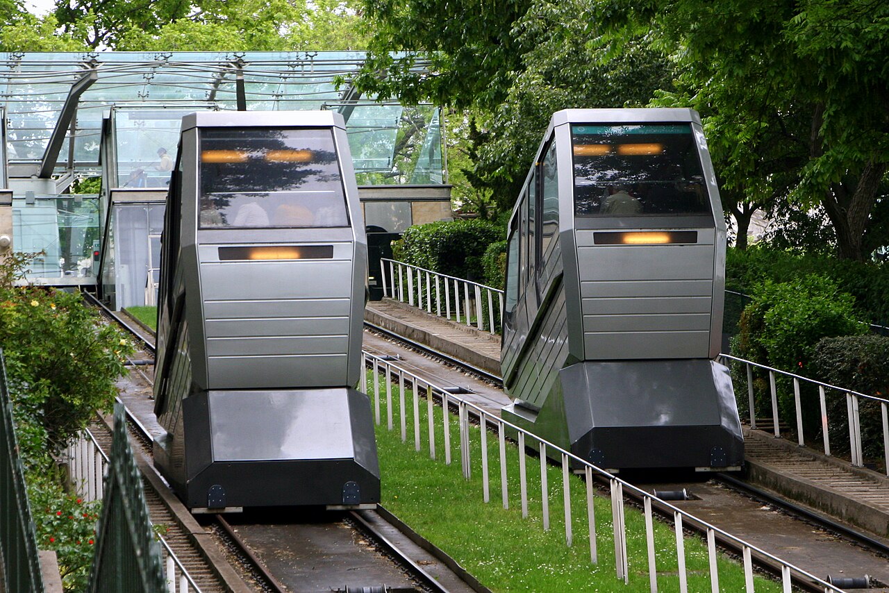
Paris’s shortcut to Sacré-Cœur since 1900 — 108 m of track, 36 m of rise and about two million riders a year.
How this line was checked
- Line drawn from OpenStreetMap relation 6928970 — the same nodes OpenStreetMap holds for this railway, thinned to within under 25 m of them
- Checked against OpenStreetMap: the whole line lies on real track, on it to within a metre
- The operator publishes this line's timetable: the railway’s own site — a place to look it up, not a check of our drawing
- Wikipedia has an article for this line
Questions and answers
How long is the Montmartre Funicular?
The Montmartre Funicular runs 110 m from Paris (Place Saint-Pierre) to Montmartre (Sacré-Cœur).
How long does the Montmartre Funicular take?
The fastest scheduled journey is 2 min for the 110 m. That is an average of 3 km/h end to end.
Who runs the Montmartre Funicular?
RATP, with two independent glass cabins (1991 system).
How old is the Montmartre Funicular?
The line has been in service since 1900. That is the year the atlas dates it from: for a modern brand running over an older railway, it is the railway's date, not the brand's.
More mountain routes
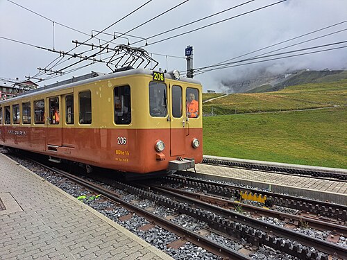
- Jungfraubahn
Tunnels INSIDE the Eiger to Europe’s highest station at 3,454 m, the “Top of Europe” since 1912.
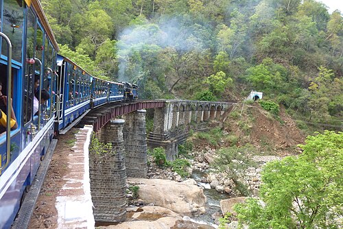
Wikipedia ↗ - Nilgiri Mountain Railway
India’s only rack railway: X-class steam pushes the blue coaches up 1-in-12 grades from palm plains to Ooty’s tea hills; UNESCO-listed in 2005.
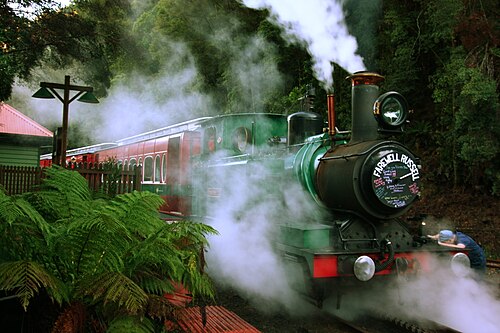
Wikipedia ↗ - West Coast Wilderness Railway
The 1896 copper railway hauls itself up 1-in-16 grades on Abt rack cogs, steaming once more from Queenstown’s bare hills into the King River rainforest.
Wikipedia ↗ - Gornergrat Bahn
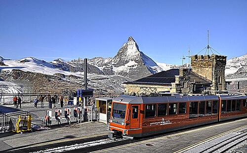
Europe’s highest open-air railway climbs from Zermatt to 3,089 m: the Matterhorn framed in the window from the first curve to the summit ridge.
Wikipedia ↗
More train routes in France.