


Heritage route
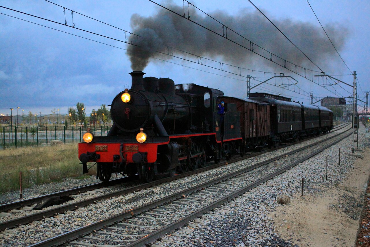
Tren de la Fresa
Madrid → Aranjuez · Spain
Hostesses in 1920s dress hand out strawberries aboard replica carriages on Spain’s second-ever railway, opened in 1851.
- Distance
- 48 km
- Fastest time
- ≈ 50 min
- Average speed
- 58 km/h
- Top speed
- 90 km/h
Stations
- 0 kmSol +1
- 1 kmAtocha +15
- 8 kmVillaverde Bajo
- 9 kmSan Cristóbal de los Ángeles
- 11 kmSan Cristóbal Industrial
- 13 kmEl Casar
- 14 kmGetafe Industrial
- 21 kmPinto
- 27 kmValdemoro
- 34 kmCiempozuelos
- 49 kmAranjuez +1
The stations OpenStreetMap lists for this service, in order, with the distance along the line as drawn here. A train may skip some of them. A +N after a station: N other routes on this map stop or end there, and the map draws it as a station where lines meet.
How this line was checked
- Line drawn from OpenStreetMap relation 62936: the same nodes OpenStreetMap holds for this railway, thinned to within under 25 m of them
- Checked against OpenStreetMap: the whole line lies on real track, a median 5 m from it
- Checked against the running timetable via ÖBB Scotty: our line sits under 100 m from the shape of IR 17008
- Wikipedia has an article for this line
- See for yourself: open this line on the map with OpenStreetMap's own railway drawn underneath it
Questions and answers
How long is the Tren de la Fresa?
The Tren de la Fresa runs 48 km from Madrid to Aranjuez.
How long does the Tren de la Fresa take?
The fastest scheduled journey is ≈ 50 min for the 48 km. That is an average of 58 km/h end to end. The line's top service speed is 90 km/h.
Who runs the Tren de la Fresa?
Fundación de los Ferrocarriles Españoles and Renfe, with vintage 1900s-style carriages, diesel-hauled.
How old is the Tren de la Fresa?
The line has been in service since 1851. That is the year the atlas dates it from: for a modern brand running over an older railway, it is the railway's date, not the brand's.
More heritage routes
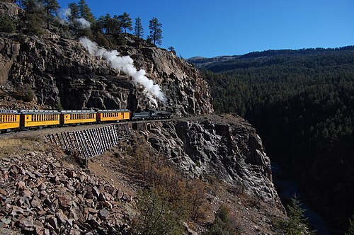
- Durango & Silverton
1882 gold-rush narrow gauge: steam-hauled ever since, on the Highline ledge blasted 120 m above the Animas River gorge.
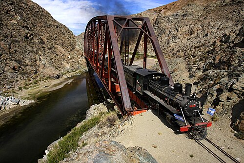
Wikipedia ↗ - La Trochita
Theroux’s Old Patagonian Express: 750 mm gauge, 1922 steam locomotives and wood-stove-heated wooden coaches across the steppe.
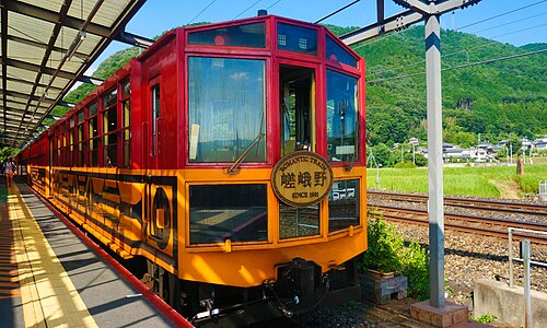
Wikipedia ↗ - Sagano Scenic Railway
A retired JR alignment above the Hozugawa rapids: twenty-five slow minutes of maples and gorge that the modern main line skips through tunnels.
Wikipedia ↗ - SL Gunma
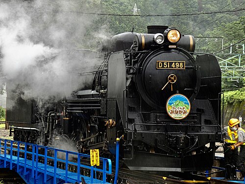
Restored D51 498 “Degoichi” and C61 20 haul retro coaches up the Joetsu Line on weekends: steam echoing off the Tone gorge under Tanigawa’s wall.
Wikipedia (JA) ↗

More train routes in Spain.