


Classic route
VIA Senneterre
Senneterre → Montréal · Canada
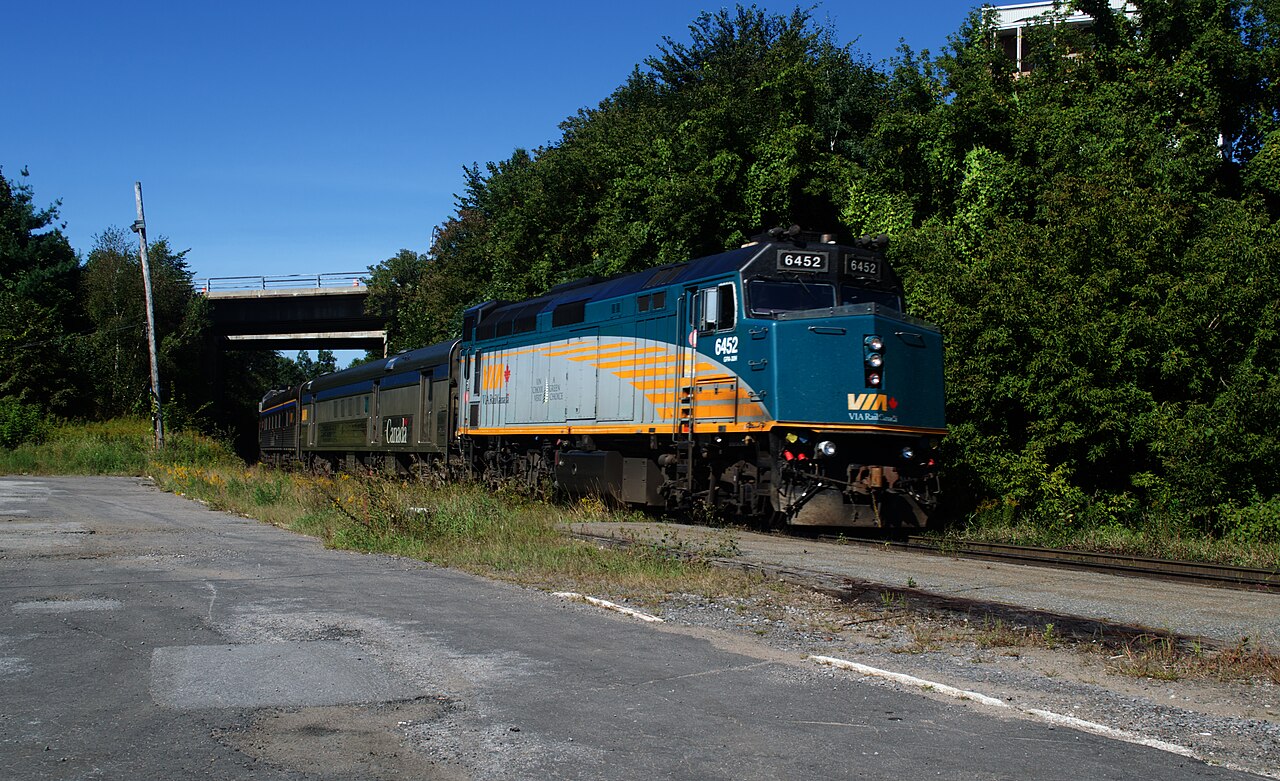
A flag-stop train into the Abitibi bush three times a week: 13½ hours from Montreal past hunting and fishing clubs listed as request stops, to Senneterre, whose station opened in 1914.
- Distance
- 712 km
- Fastest time
- ≈ 13 h 30 min
- Average speed
- 53 km/h
Stations
- 0 kmSenneterre
- 14 kmMégiscane
- 34 kmSignai
- 44 kmPress
- 68 kmForsythe
- 76 kmBolger
Show 49 more stations
- 90 kmDix
- 92 kmGagnon
- 102 kmDa-Rou-Lac Lodge
- 103 kmLanglade
- 110 kmClub Beaudin
- 116 kmBourmont
- 118 kmKapitachuan
- 122 kmConsolidated Bathurst
- 131 kmMonet
- 145 kmCoquar
- 154 kmClova
- 166 kmOskelaneo River
- 178 kmOskelaneo Lodge
- 185 kmGreening
- 192 kmManiwawa Club
- 197 kmStrachan
- 200 kmClub Rita
- 208 kmTimbrell
- 221 kmParent
- 234 kmManjobagues
- 242 kmSisco Club
- 245 kmMcCarthy
- 261 kmCasey
- 274 kmHibbard
- 287 kmClub Bélanger
- 292 kmCann
- 299 kmSanmaur
- 300 kmWeymont
- 302 kmSaint-Maurice Rivière Boom
- 311 kmDessane
- 318 kmVandry
- 326 kmWigwam Club
- 332 kmFerguson
- 341 kmWindigo
- 342 kmMcTavish Club
- 355 kmDuplessis
- 367 kmLac Darey
- 381 kmRapide Blanc
- 383 kmClub Vermillon
- 390 kmCressman
- 410 kmFitzpatrick
- 415 kmLa Tuque
- 496 kmHervey +1
- 513 kmSaint-Tite +1
- 525 kmGarneau +1
- 532 kmGrand-Mère +1
- 540 kmShawinigan +1
- 560 kmCharette +1
- 569 kmSaint-Paulin +1
- 586 kmSaint-Justin +1
- 624 kmJoliette +1
- 676 kmAnjou +1
- 685 kmSauvé +1
- 710 kmMontreal Central Station +6
The stations OpenStreetMap lists for this service, in order, with the distance along the line as drawn here. A train may skip some of them. A +N after a station: N other routes on this map stop or end there, and the map draws it as a station where lines meet.
How this line was checked
- Line drawn from OpenStreetMap relation 7493289: the same nodes OpenStreetMap holds for this railway, thinned to within 61 m of them
- Checked against OpenStreetMap: the whole line lies on real track, a median 12 m from it
- Checked against the running timetable via VIA Rail Canada: our line sits 0.1 km from the shape of the Montréal–Senneterre train
- Wikipedia has an article for this line
Questions and answers
How long is the VIA Senneterre?
The VIA Senneterre runs 712 km from Senneterre to Montréal.
How long does the VIA Senneterre take?
The fastest scheduled journey is ≈ 13 h 30 min for the 712 km. That is an average of 53 km/h end to end.
Who runs the VIA Senneterre?
VIA Rail, with VIA corridor coaches.
How old is the VIA Senneterre?
The line has been in service since 1914. That is the year the atlas dates it from: for a modern brand running over an older railway, it is the railway's date, not the brand's.
How often does the VIA Senneterre run?
3× weekly each way.
More classic routes
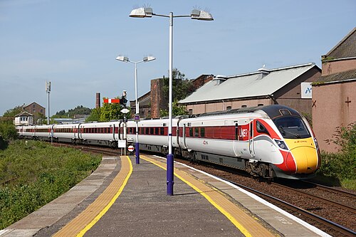
- LNER Azuma
The Flying Scotsman’s route since 1862, and where Mallard set the never-beaten steam record of 203 km/h in 1938.
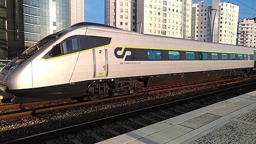
Wikipedia ↗ - Alfa Pendular
A tilting Pendolino leaning through the curves of the 19th-century Linha do Norte between Portugal’s two great cities.
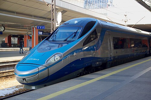
Wikipedia ↗ - EIP Pendolino
Rides Poland’s 1970s Central Main Line (CMK), engineered decades ahead of its time and now being upgraded to 250 km/h.
Wikipedia ↗ - Railjet
Follows the old Orient Express alignment down the Danube plain: centre to centre faster than any flight.
Wikipedia ↗

More train routes in Canada.