
🇮🇱 Country
Train routes in Israel
5 routes · classic 4 · mountain 1
5 routes cross Israel in the World Train Map atlas. The longest is the Israel Railways · Coastal line at 122 km; the fastest is the Jerusalem High-Speed Link, running up to 160 km/h; the oldest line dates to 1953. Every route links to its facts, photo and story, and to the interactive world map.
Open the world railway map →Classic (4)
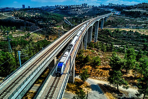
- Jerusalem High-Speed Link
Israel’s first electrified line tunnels and bridges through the Judean Hills to Yitzhak Navon station, 80 m below Jerusalem, in half an hour.
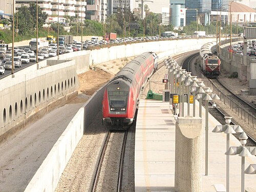
Wikipedia ↗ - Israel Railways · Beersheba line
A fast double-tracked run to the Negev’s capital, tracing the Ottoman military railway thrown down in 1915 to supply the WWI Sinai front.
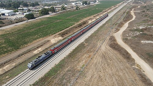
Wikipedia ↗ - Israel Railways · Coastal line
Israel’s busiest rail corridor follows the Mediterranean shore from the Galilee coast through Haifa Bay to Tel Aviv, with trains every 15–30 minutes.
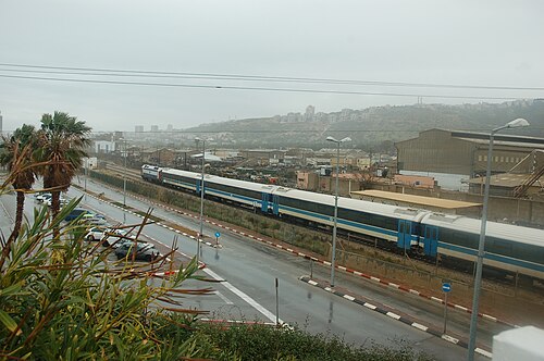
Wikipedia ↗ - HaEmek (Jezreel Valley) Line
Rebuilt on the 1905 Ottoman Hejaz alignment, it ends at Beit She’an: about 120 m below sea level, among the world’s lowest stations.
Wikipedia ↗
Mountain (1)
- Carmelit
Israel’s only fully underground railway and one of the world’s smallest metros: six stepped stations rising 274 m inside Mount Carmel.
Wikipedia ↗

Photos via Wikimedia Commons — each route page credits the author & licence
What is the fastest train in Israel?
The Jerusalem High-Speed Link, running Tel Aviv to Jerusalem at up to 160 km/h. It is one of 5 routes in Israel in this atlas.
Are there night trains in Israel?
Not in this atlas. Israel has 5 routes here and none of them is a scheduled sleeper, though night trains from neighbouring countries may still reach it.
Can you cross the border by train from Israel?
No route in this atlas crosses a land border out of Israel. Every line listed here begins and ends inside the country.
Which is the most scenic railway in Israel?
Israel has 1 scenic or mountain line in this atlas. The longest is the Carmelit, 1.8 km.