
Night train route
The Canadian
Toronto → Vancouver · Canada
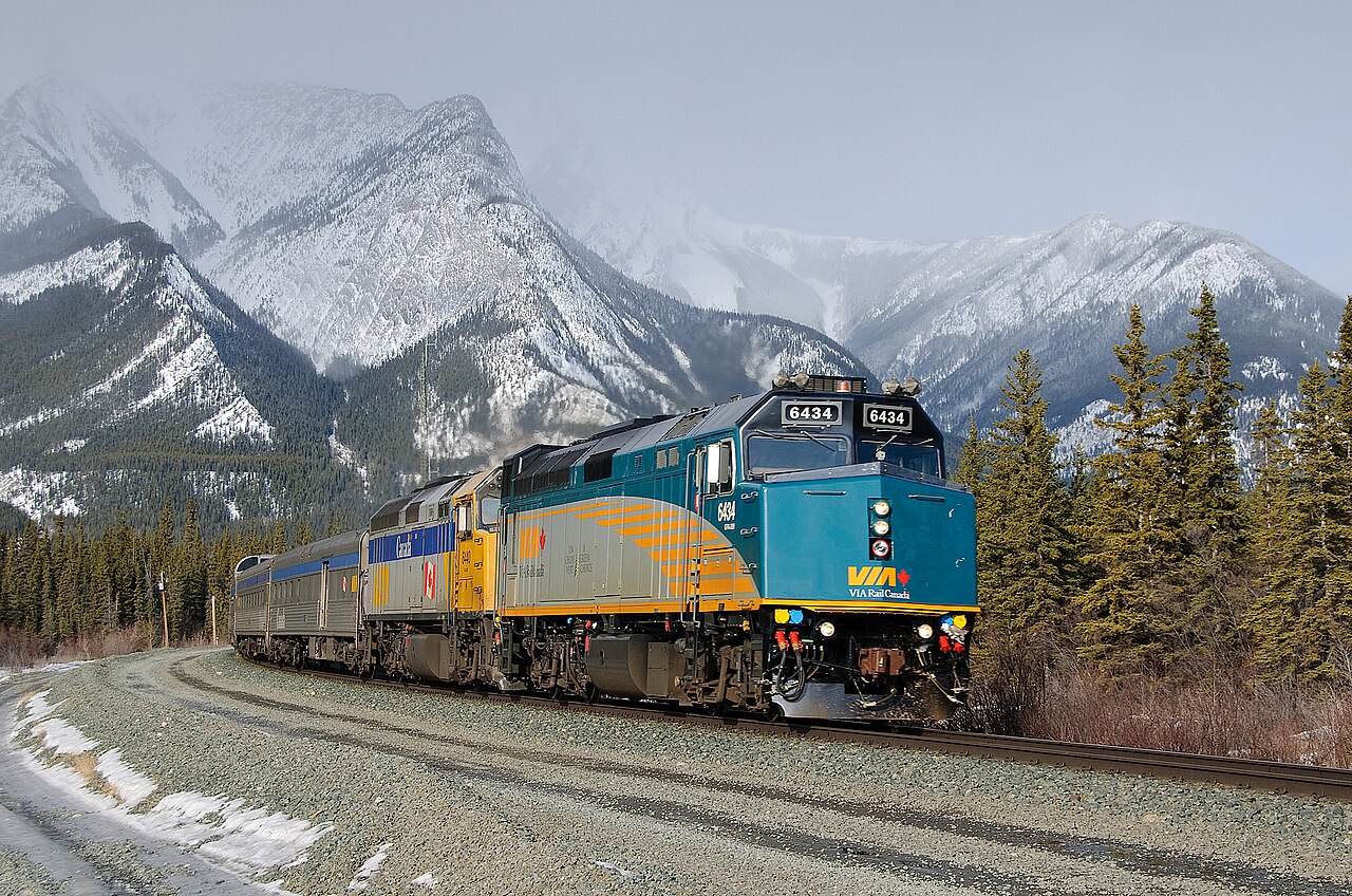
Four nights in 1955 stainless-steel dome cars. Ontario lakeland, prairie infinity, then the Rockies at dawn.
How this line was checked
- Line drawn from OpenStreetMap relation 10411281 — the same nodes OpenStreetMap holds for this railway, thinned to within 87 m of them
- Checked against OpenStreetMap: 99.8% of this line lies within 250 m of real track (median 22 m); the longest stretch away from it is 9.5 km
- The operator publishes this line's timetable: VIA Rail schedules — a place to look it up, not a check of our drawing
- Wikipedia has an article for this line
Questions and answers
How long is The Canadian?
The Canadian runs 4,466 km from Toronto to Vancouver.
How long does The Canadian take?
The fastest scheduled journey is ≈ 4 days for the 4,466 km. That is an average of 47 km/h end to end. The line's top service speed is 130 km/h.
Who runs The Canadian?
VIA Rail, with Budd stainless dome cars.
How old is The Canadian?
The line has been in service since 1955. That is the year the atlas dates it from: for a modern brand running over an older railway, it is the railway's date, not the brand's.
More night train routes
- EuroNight
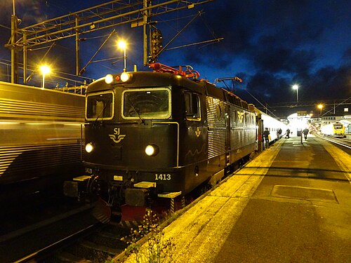
Scandinavia’s night-train revival: across the Öresund while you sleep, into Germany by breakfast.
Wikipedia ↗ - Santa Claus Express
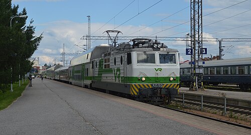
Rolls out of Helsinki by night and crosses into Lapland by morning: sleepers and car carriers bound for the Arctic Circle.
- Trans-Siberian Railway
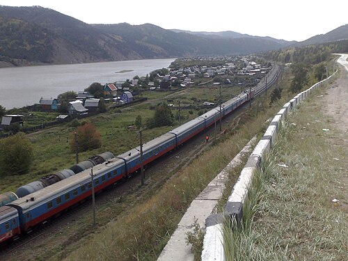
The longest railway on Earth: 9,289 km, eight time zones and seven nights between Moscow and the Pacific.
Wikipedia ↗ - Mumbai Rajdhani
India’s first Rajdhani: the overnight flagship linking the capital with the financial capital, now in bright Tejas livery.
Wikipedia ↗
More train routes in Canada.