
Heritage route
Mountaineer
North Conway → Crawford Notch · United States
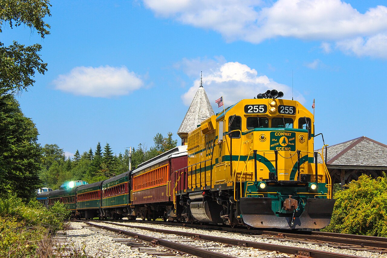
Follows the 1875 Maine Central grade up Crawford Notch, creeping across the curved Frankenstein Trestle high above the Saco.
The Mountaineer retraces the Maine Central’s 1875 Mountain Division out of North Conway, a line its engineers were told could not be built. Above Bartlett the grade claws onto ledges high over the Saco valley, easing across the curved Frankenstein Trestle and the Willey Brook bridge before topping out at the little Crawford Depot in the jaws of the Notch. Dome seats sell out first for the fall foliage runs.
Along the way
- Saco River intervale
- Bartlett village
- Frankenstein Trestle
- Willey Brook Bridge
- Gateway of Crawford Notch
- Mount Washington views
How this line was checked
- Line drawn from OpenStreetMap relation 19860125 — the same nodes OpenStreetMap holds for this railway, thinned to within under 25 m of them
- Checked against OpenStreetMap: the whole line lies on real track, a median 5 m from it
- See for yourself: open this line on the map with OpenStreetMap's own railway drawn underneath it
Questions and answers
How long is the Mountaineer?
The Mountaineer runs 38 km from North Conway to Crawford Notch.
How long does the Mountaineer take?
The fastest scheduled journey is 2 h for the 38 km. That is an average of 19 km/h end to end. The line's top service speed is 40 km/h.
Who runs the Mountaineer?
Conway Scenic Railroad, with EMD GP38 diesels, dome & open cars.
How old is the Mountaineer?
The line has been in service since 1875. That is the year the atlas dates it from: for a modern brand running over an older railway, it is the railway's date, not the brand's.
How often does the Mountaineer run?
Daily Jul–mid-Oct, select days otherwise.
More heritage routes
- Durango & Silverton
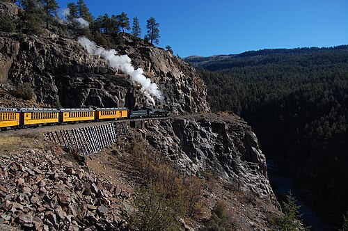
1882 gold-rush narrow gauge: steam-hauled ever since, on the Highline ledge blasted 120 m above the Animas River gorge.
Wikipedia ↗ - La Trochita
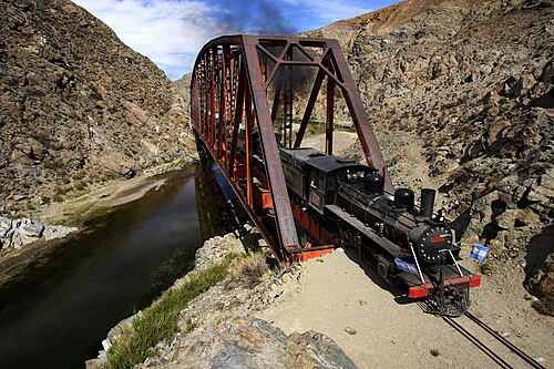
Theroux’s Old Patagonian Express: 750 mm gauge, 1922 steam locomotives and wood-stove-heated wooden coaches across the steppe.
Wikipedia ↗ - Sagano Scenic Railway
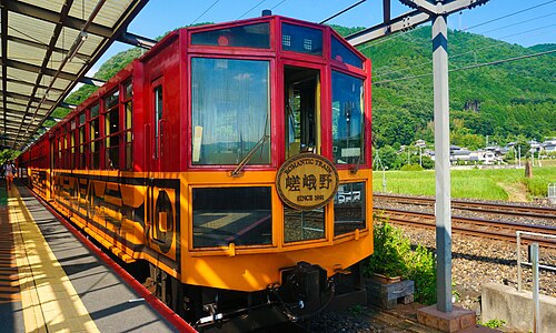
A retired JR alignment above the Hozugawa rapids: twenty-five slow minutes of maples and gorge that the modern main line skips through tunnels.
Wikipedia ↗ - SL Gunma
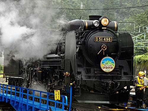
Restored D51 498 “Degoichi” and C61 20 haul retro coaches up the Joetsu Line on weekends: steam echoing off the Tone gorge under Tanigawa’s wall.
Wikipedia (JA) ↗
More train routes in United States.