
Heritage route
Cumbres & Toltec Scenic Railroad
Antonito → Chama · United States
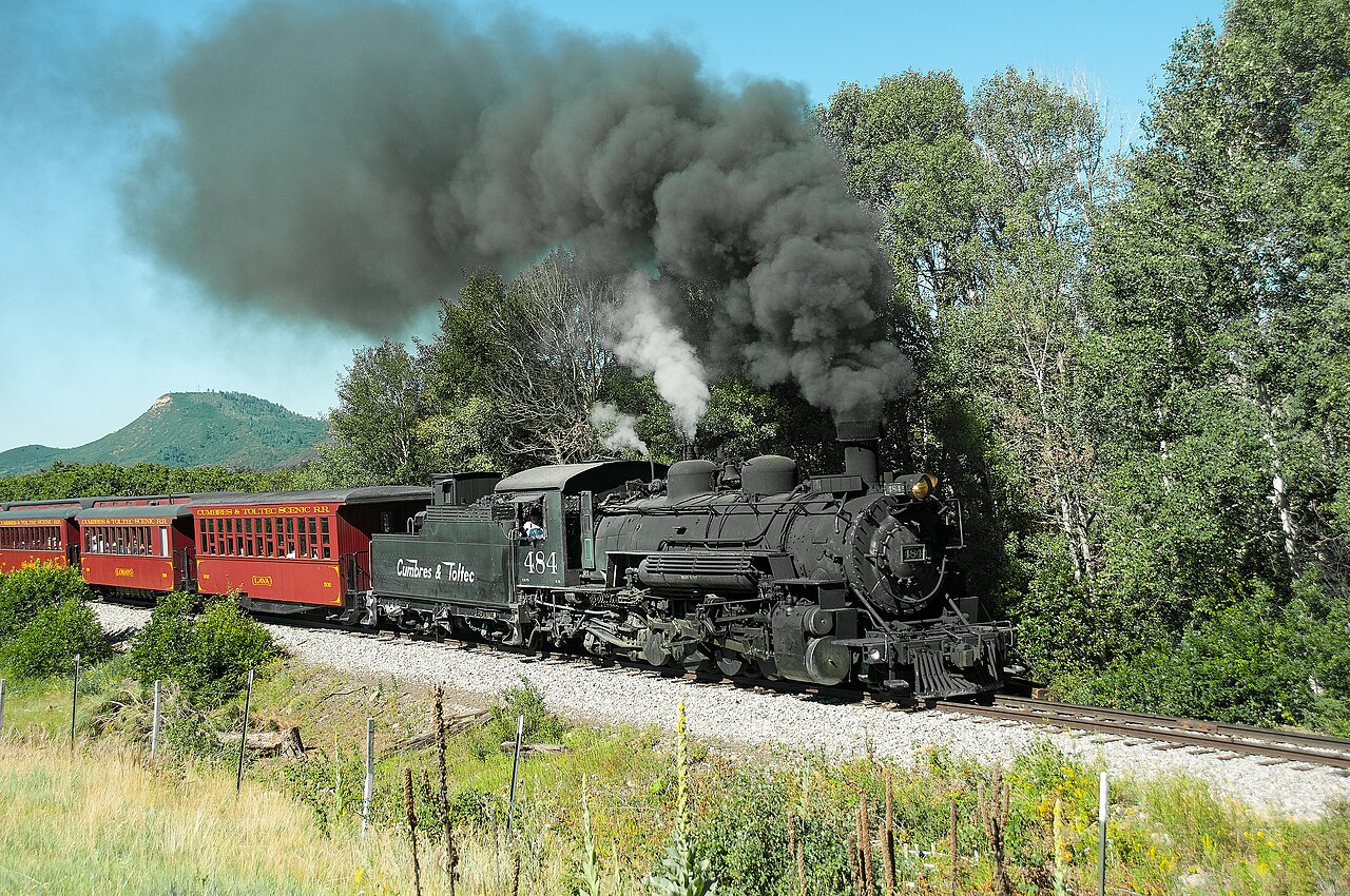
America’s highest steam railroad, 1880 Rio Grande narrow gauge. K-36 Mikados storm 3,054 m Cumbres Pass and teeter along the Toltec Gorge rim.
How this line was checked
- Line drawn from OpenStreetMap relation 3814840 — the same nodes OpenStreetMap holds for this railway, thinned to within under 25 m of them
- Checked against OpenStreetMap: the whole line lies on real track, a median 7 m from it
- The operator publishes this line's timetable: the railway’s own site — a place to look it up, not a check of our drawing
- Wikipedia has an article for this line
- See for yourself: open this line on the map with OpenStreetMap's own railway drawn underneath it
Questions and answers
How long is the Cumbres & Toltec Scenic Railroad?
The Cumbres & Toltec Scenic Railroad runs 103 km from Antonito to Chama.
How long does the Cumbres & Toltec Scenic Railroad take?
The fastest scheduled journey is 6 h 30 min for the 103 km. That is an average of 16 km/h end to end. The line's top service speed is 24 km/h.
Who runs the Cumbres & Toltec Scenic Railroad?
Cumbres & Toltec Scenic Railroad, with D&RGW K-36 steam 2-8-2.
How old is the Cumbres & Toltec Scenic Railroad?
The line has been in service since 1880. That is the year the atlas dates it from: for a modern brand running over an older railway, it is the railway's date, not the brand's.
How high does the Cumbres & Toltec Scenic Railroad climb?
3,053 m above sea level at its highest point.
More heritage routes
- Durango & Silverton
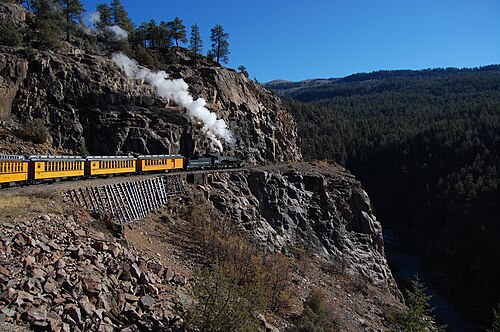
1882 gold-rush narrow gauge: steam-hauled ever since, on the Highline ledge blasted 120 m above the Animas River gorge.
Wikipedia ↗ - La Trochita
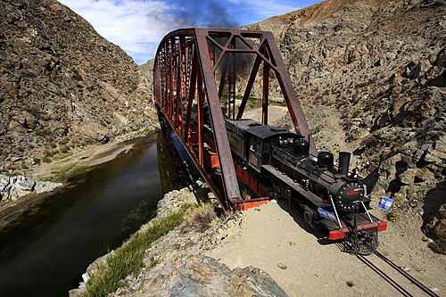
Theroux’s Old Patagonian Express: 750 mm gauge, 1922 steam locomotives and wood-stove-heated wooden coaches across the steppe.
Wikipedia ↗ - Sagano Scenic Railway
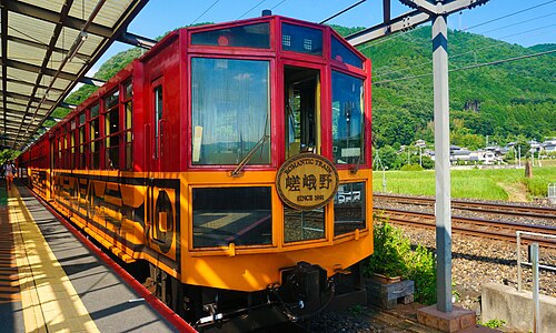
A retired JR alignment above the Hozugawa rapids: twenty-five slow minutes of maples and gorge that the modern main line skips through tunnels.
Wikipedia ↗ - SL Gunma
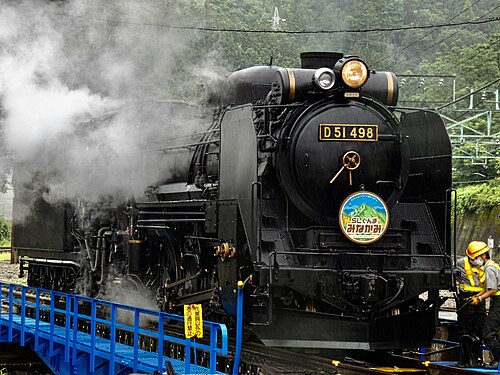
Restored D51 498 “Degoichi” and C61 20 haul retro coaches up the Joetsu Line on weekends: steam echoing off the Tone gorge under Tanigawa’s wall.
Wikipedia (JA) ↗
More train routes in United States.