
Scenic route
Media Distancia R-1f
Ferrol → Oviedo · Spain
View on the map →Wikipedia (ES) ↗Stations · 104
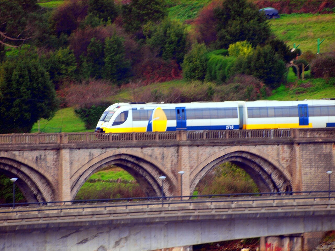
Europe’s longest narrow-gauge ride: two trains a day take seven hours to weave around Galicia’s rias and along the Asturian cliffs from Ferrol to Oviedo.
Stations
- 0 kmFerrol
- 2 kmSan Xoán
- 2 kmVirxe do Mar
- 3 kmSanta Icía
- 4 kmO Alto do Castaño
- 5 kmPiñeiros
Show 93 more stations
- 6 kmO Ponto
- 7 kmXuvia
- 9 kmAs Ferrerías
- 11 kmSedes
- 13 kmPedroso
- 16 kmSan Sadurniño
- 20 kmLamas
- 23 kmA Palla
- 25 kmMoeche
- 27 kmLabacengos
- 30 kmEntrambasrías
- 32 kmCerdido
- 36 kmA Cuqueira
- 41 kmSanta María de Mera
- 44 kmA Ponte de Mera
- 46 kmSan Claudio
- 48 kmSenra
- 50 kmOrtigueira
- 55 kmEspasante
- 61 kmLoiba
- 66 kmO Barqueiro
- 69 kmO Vicedo
- 75 kmMosende
- 76 kmO Folgueiro
- 80 kmCovas
- 82 kmViveiro
- 83 kmViveiro-Apeadoiro
- 90 kmXuances
- 93 kmXove-Pobo
- 95 kmXove
- 96 kmLago
- 98 kmBidueiros
- 100 kmSan Cibrao
- 102 kmO Madeiro
- 108 kmBurela
- 112 kmCangas de Foz
- 115 kmNois
- 116 kmFazouro
- 120 kmMarzán
- 122 kmFoz
- 127 kmBarreiros
- 131 kmReinante
- 133 kmEsteiro
- 134 kmOs Castros
- 136 kmRinlo
- 141 kmRibadeo
- 148 kmA Veiga-Apeadoiro
- 149 kmVegadeo-Pueblo
- 151 kmVilavedelle
- 154 kmCastropol
- 158 kmLas Campas
- 160 kmTol
- 164 kmTapia de Casariego
- 172 kmLa Caridad
- 175 kmCartavio
- 177 kmLoza
- 178 kmMedal
- 183 kmNavia
- 189 kmPiñera - Villaoril
- 193 kmVillapedre
- 198 kmOtur
- 204 kmLuarca
- 207 kmBarcia
- 213 kmCaneiru
- 216 kmSan Cristuébanu
- 218 kmCadavedo
- 222 kmTablizu
- 224 kmBallota Apeadero
- 225 kmBallota
- 226 kmSanta Marina
- 228 kmNovellana
- 231 kmValdredo
- 237 kmSan Cosme
- 238 kmSan Martín de Luiña
- 243 kmLa Magdalena
- 246 kmVillademar
- 247 kmCudillero
- 248 kmEl Pito - Piñera
- 251 kmMuros de Nalon
- 256 kmLos Cabos
- 257 kmSantianes
- 260 kmPravia
- 262 kmBeifar
- 266 kmSan Román
- 268 kmAces
- 271 kmSandiche
- 274 kmGrado/Grau
- 276 kmPeñaflor
- 280 kmVega de Anzo/Veiga D'Anzu
- 282 kmSanta María Grau
- 286 kmSoto Udrión/Sotu-Udrión
- 287 kmTrubia
- 289 kmSan Pedru Nora
- 293 kmSan Claudio/San Cloyo
- 295 kmLas Mazas/Les Maces
- 296 kmLas Campas
- 297 kmArgañosa-Lavapiés
- 298 kmVallobín
The stations OpenStreetMap lists for this service, in order, with the distance along the line as drawn here. A train may skip some of them.
How this line was checked
- Line drawn from OpenStreetMap relation 2063423 — the same nodes OpenStreetMap holds for this railway, thinned to within 82 m of them
- Checked against OpenStreetMap: the whole line lies on real track, a median 25 m from it
- Checked against the running timetable via Renfe: our line passes within 459 m of every station REGIONAL calls at (the operator publishes no route geometry to compare)
- Wikipedia has an article for this line
- See for yourself: open this line on the map with OpenStreetMap's own railway drawn underneath it
Questions and answers
How long is the Media Distancia R-1f?
The Media Distancia R-1f runs 314 km from Ferrol to Oviedo.
How long does the Media Distancia R-1f take?
The fastest scheduled journey is 7 h 15 min for the 314 km. That is an average of 43 km/h end to end. The line's top service speed is 80 km/h.
Who runs the Media Distancia R-1f?
Renfe.
How old is the Media Distancia R-1f?
The line has been in service since 1972. That is the year the atlas dates it from: for a modern brand running over an older railway, it is the railway's date, not the brand's.
More scenic routes
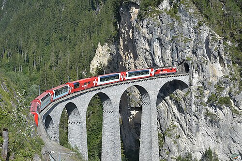
- Glacier Express
“The world’s slowest express”: 291 bridges, 91 tunnels and the 2,033 m Oberalp Pass at an average of 36 km/h.
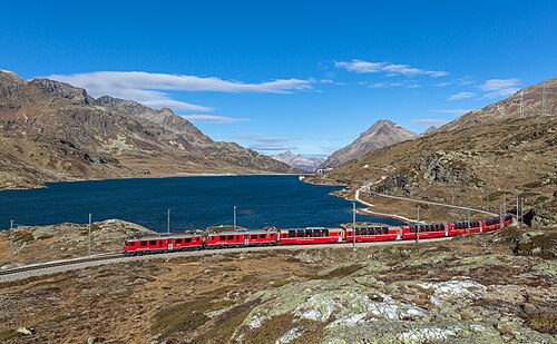
Wikipedia ↗ - Bernina Express
A UNESCO World Heritage railway: 7 % grades with no rack, the Brusio spiral, and the highest rail crossing of the Alps at 2,253 m.
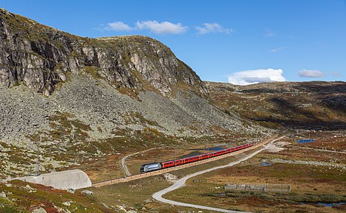
Wikipedia ↗ - Bergensbanen
Northern Europe’s highest main line: over the bare Hardangervidda plateau at 1,237 m, through 182 tunnels.
Wikipedia ↗ - West Highland Line
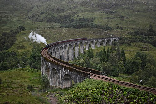
Regularly voted the world’s most scenic railway: around Rannoch Moor and over the 21-arch Glenfinnan Viaduct of film fame.
Wikipedia ↗
More train routes in Spain.