
Classic route
Hel Peninsula Line
Gdynia → Hel · Poland
View on the map →Wikipedia ↗Stations · 17
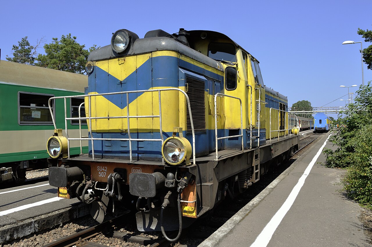
A railway down a sandbar: 34 km along the Hel spit, at points 200 m wide, open Baltic one side and lagoon the other — packed solid every Polish summer.
Stations
- 0 kmGdynia Główna
- 5 kmGdynia Chylonia
- 11 kmRumia
- 14 kmReda
- 19 kmReda Rekowo
- 23 kmMrzezino
Show 6 more stations
- 26 kmŻelistrzewo
- 30 kmPuck
- 35 kmSwarzewo
- 41 kmWładysławowo
- 43 kmWładysławowo Port
- 49 kmChałupy
- 55 kmKuźnica (Hel)
- 61 kmJastarnia Wczasy
- 62 kmJastarnia
- 65 kmJurata
- 76 kmHel
The stations OpenStreetMap lists for this service, in order, with the distance along the line as drawn here. A train may skip some of them.
How this line was checked
- Line drawn from OpenStreetMap relation 14501371 — the same nodes OpenStreetMap holds for this railway, thinned to within under 25 m of them
- Checked against OpenStreetMap: the whole line lies on real track, a median 3 m from it
- Checked against the running timetable via ÖBB Scotty: our line sits under 100 m from the shape of R 90505
- Wikipedia has an article for this line
- See for yourself: open this line on the map with OpenStreetMap's own railway drawn underneath it
Questions and answers
How long is the Hel Peninsula Line?
The Hel Peninsula Line runs 76 km from Gdynia to Hel.
How long does the Hel Peninsula Line take?
The fastest scheduled journey is ≈ 1 h 45 min for the 76 km. That is an average of 43 km/h end to end. The line's top service speed is 90 km/h.
Who runs the Hel Peninsula Line?
Polregio.
How old is the Hel Peninsula Line?
The line has been in service since 1922. That is the year the atlas dates it from: for a modern brand running over an older railway, it is the railway's date, not the brand's.
More classic routes
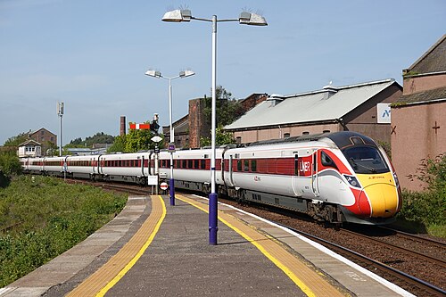
- LNER Azuma
The Flying Scotsman’s route since 1862: and where Mallard set the never-beaten steam record of 203 km/h in 1938.
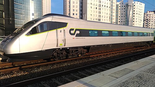
Wikipedia ↗ - Alfa Pendular
A tilting Pendolino leaning through the curves of the 19th-century Linha do Norte between Portugal’s two great cities.
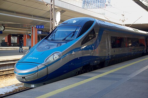
Wikipedia ↗ - EIP Pendolino
Rides Poland’s 1970s Central Main Line (CMK), engineered decades ahead of its time and now being upgraded to 250 km/h.
Wikipedia ↗ - Railjet
Follows the old Orient Express alignment down the Danube plain: centre to centre faster than any flight.
Wikipedia ↗
More train routes in Poland.