


Scenic route
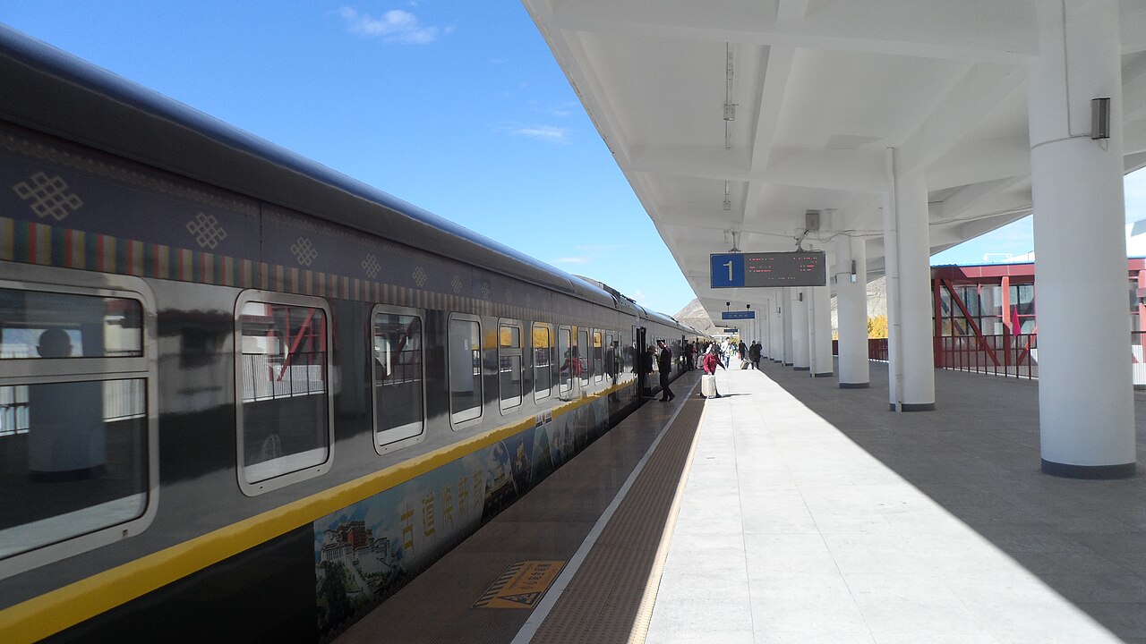
Lhasa–Shigatse Railway
Lhasa → Shigatse · China
A high-altitude spur off the Qinghai–Tibet line, tunnelling through the mountains to trace the Yarlung Tsangpo canyon to Tibet’s second city.
- Distance
- 253 km
- Fastest time
- 2 h 40 min
- Average speed
- 95 km/h
- Top speed
- 160 km/h
Stations
- 1 kmLhasa +2
- 6 km拉萨南 +1
- 20 kmBoitoi +1
- 34 kmXierong +1
- 57 km曲水县
- 80 km茶巴拉
Show 4 more stations
- 104 kmNimu
- 128 km卡如
- 151 km仁布
- 173 kmTrakdruka
- 194 km灯古
- 214 kmJieqiong
- 233 kmKadoi
- 248 kmShigatse
- 251 kmShigatse West
The stations OpenStreetMap maps along this line, in order along the line as drawn here, with the distance along it. Not every train stops at every station. A +N after a station: N other routes on this map stop or end there, and the map draws it as a station where lines meet.
How this line was checked
- The 250 km this route shares with OpenStreetMap relation 3420812 is drawn from that relation's own nodes, thinned to within under 25 m of them
- Checked against OpenStreetMap: 99% of this line lies within 250 m of real track (median 3 m); the longest stretch away from it is 2.5 km
- The operator publishes this line's timetable: China Railway 12306, a place to look it up, not a check of our drawing
- Wikipedia has an article for this line
- See for yourself: open this line on the map with OpenStreetMap's own railway drawn underneath it
Questions and answers
How long is the Lhasa–Shigatse Railway?
The Lhasa–Shigatse Railway runs 253 km from Lhasa to Shigatse.
How long does the Lhasa–Shigatse Railway take?
The fastest scheduled journey is 2 h 40 min for the 253 km. That is an average of 95 km/h end to end. The line's top service speed is 160 km/h.
Who runs the Lhasa–Shigatse Railway?
China Railway, with 25T plateau coaches.
How old is the Lhasa–Shigatse Railway?
The line has been in service since 2014. That is the year the atlas dates it from: for a modern brand running over an older railway, it is the railway's date, not the brand's.
How high does the Lhasa–Shigatse Railway climb?
4,000 m above sea level at its highest point.
More scenic routes
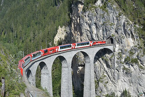
- Glacier Express
“The world’s slowest express”: 291 bridges, 91 tunnels and the 2,033 m Oberalp Pass at an average of 36 km/h.
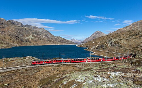
Wikipedia ↗ - Bernina Express
A UNESCO World Heritage railway: 7 % grades with no rack, the Brusio spiral, and the highest rail crossing of the Alps at 2,253 m.
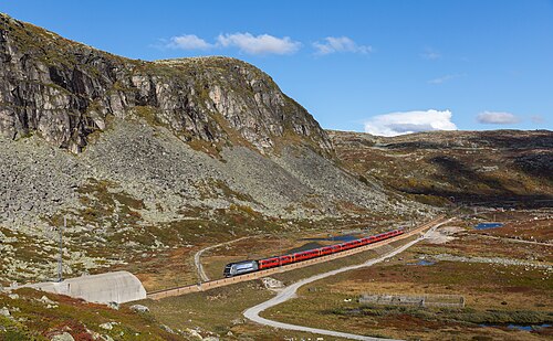
Wikipedia ↗ - Bergensbanen
Northern Europe’s highest main line: over the bare Hardangervidda plateau at 1,237 m, through 182 tunnels.
Wikipedia ↗ - West Highland Line
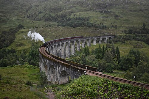
Regularly voted the world’s most scenic railway: around Rannoch Moor and over the 21-arch Glenfinnan Viaduct of film fame.
Wikipedia ↗

More train routes in China.