
Scenic route
Lötschberger
Bern → Brig · Switzerland
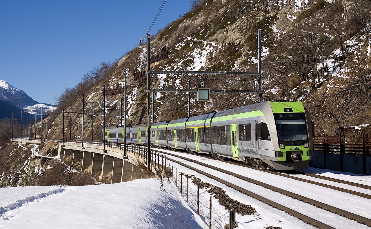
The 1913 mountain line the base tunnel made optional. Felsenburg spirals, a 14.6 km summit tunnel, then the Bietschtal bridge on a ledge above the Rhône.
When the Lötschberg Base Tunnel opened in 2007, the 1913 mountain line above it was kept alive for the slow and the curious. BLS’s green Lötschberger units leave Bern hourly, spiral past the Felsenburg ruin above Kandersteg and thread the 14.6 km summit tunnel before emerging onto the südrampe: a ledge high above the Rhône where the line tiptoes across the Bietschtal bridge. Walkers use it like a funicular: every little station on the ramp opens onto a marked trail.
Along the way
- Thun castle & lake
- Kander viaduct at Frutigen
- Felsenburg loops
- Kandersteg (Blüemlisalp views)
- Lötschberg summit tunnel (14.6 km)
- Südrampe & Bietschtal bridge
How this line was checked
- Line drawn from 2 OpenStreetMap relations, their own nodes end to end: relation 2354183 (51 km), relation 1843687 (65 km) — 116 km of the route between them
- Checked against OpenStreetMap: 98.3% of this line lies within 250 m of real track (median 3 m); the longest stretch away from it is 2 km
- Checked against the running timetable via ÖBB Scotty: our line sits under 100 m from the shape of RE 1
- Wikipedia has an article for this line
- See for yourself: open this line on the map with OpenStreetMap's own railway drawn underneath it
Questions and answers
How long is the Lötschberger?
The Lötschberger runs 110 km from Bern to Brig.
How long does the Lötschberger take?
The fastest scheduled journey is 1 h 55 min for the 110 km. That is an average of 57 km/h end to end. The line's top service speed is 160 km/h.
Who runs the Lötschberger?
BLS.
How old is the Lötschberger?
The line has been in service since 1913. That is the year the atlas dates it from: for a modern brand running over an older railway, it is the railway's date, not the brand's.
How high does the Lötschberger climb?
1,240 m above sea level at its highest point.
More scenic routes
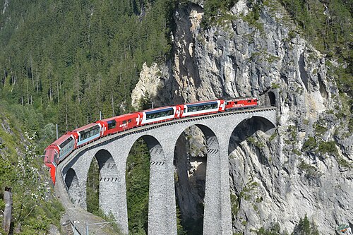
- Glacier Express
“The world’s slowest express”: 291 bridges, 91 tunnels and the 2,033 m Oberalp Pass at an average of 36 km/h.
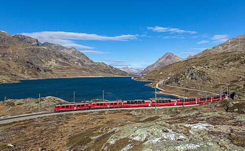
Wikipedia ↗ - Bernina Express
A UNESCO World Heritage railway: 7 % grades with no rack, the Brusio spiral, and the highest rail crossing of the Alps at 2,253 m.
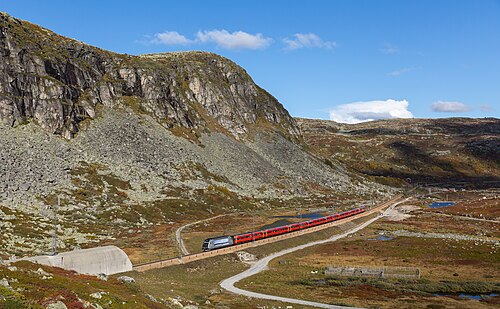
Wikipedia ↗ - Bergensbanen
Northern Europe’s highest main line: over the bare Hardangervidda plateau at 1,237 m, through 182 tunnels.
Wikipedia ↗ - West Highland Line
Regularly voted the world’s most scenic railway: around Rannoch Moor and over the 21-arch Glenfinnan Viaduct of film fame.
Wikipedia ↗
More train routes in Switzerland.