
Scenic route
Qinghai–Tibet Railway
Xining → Lhasa · China
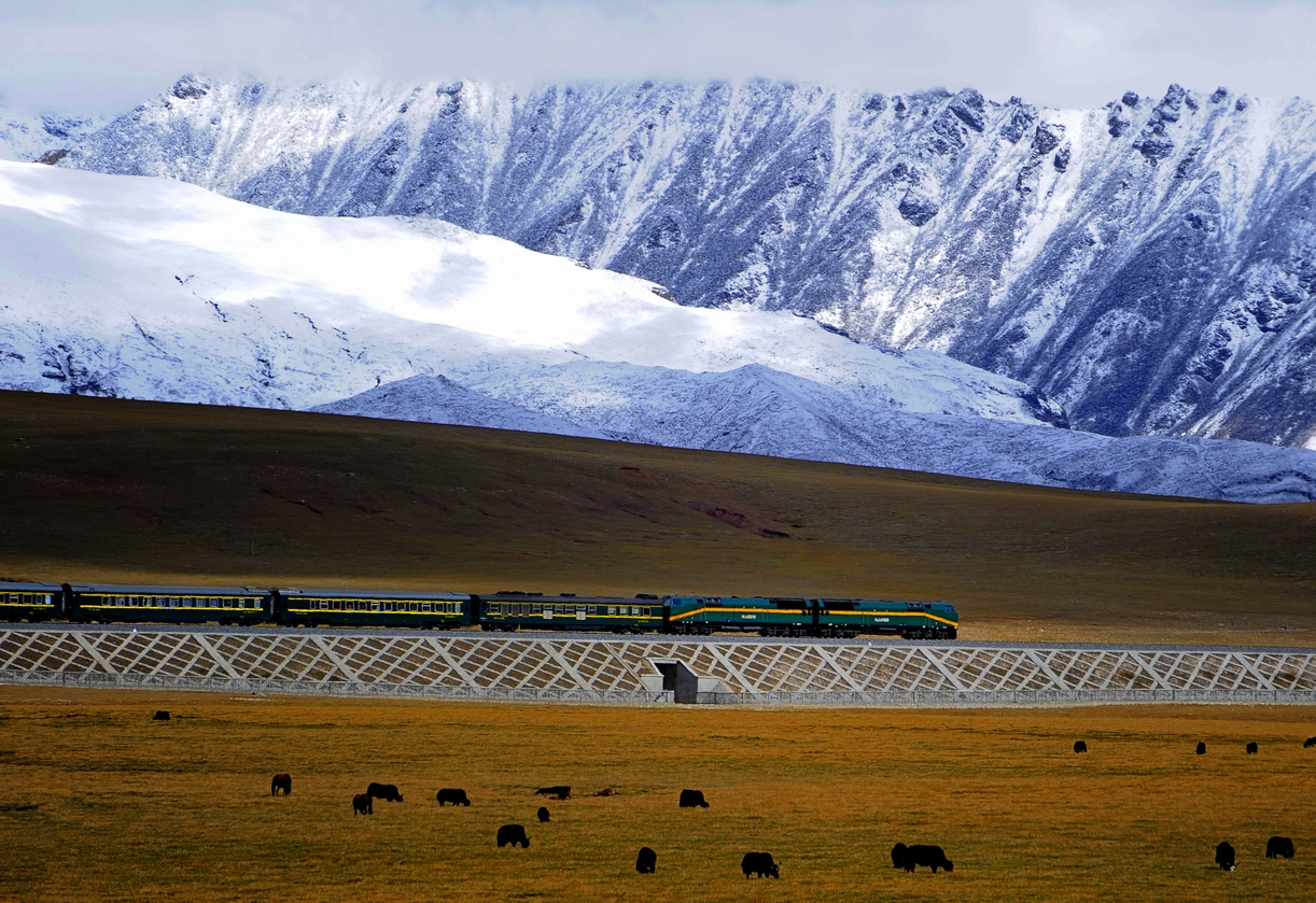
The roof-of-the-world railway: 5,072 m over the Tanggula Pass on permafrost, with oxygen piped to every seat.
Passengers sign a health declaration before boarding, because most of a day is spent above 4,000 m, where even the antelope look better acclimatised than you. The Golmud–Lhasa section, finished in 2006, was engineering at the edge of the possible, its track raised on cooled embankments and long bridges so migrating chiru can pass beneath. Outside, the Kunlun and Tanggula ranges scroll past salt lakes and nomad camps until prayer-flagged passes give way to the Lhasa valley.
Along the way
- Qinghai Lake grasslands
- Kunlun Mountains gateway at Golmud
- Hoh Xil antelope reserve
- Tanggula station — the world’s highest
- Nagqu nomad plains
- prayer flags of the Lhasa valley
How this line was checked
- Line drawn from OpenStreetMap relation 152884 — the same nodes OpenStreetMap holds for this railway, thinned to within 59 m of them
- Checked against OpenStreetMap: the whole line lies on real track, a median 13 m from it
- The operator publishes this line's timetable: China Railway 12306 — a place to look it up, not a check of our drawing
- Wikipedia has an article for this line
- See for yourself: open this line on the map with OpenStreetMap's own railway drawn underneath it
Questions and answers
How long is the Qinghai–Tibet Railway?
The Qinghai–Tibet Railway runs 1,956 km from Xining to Lhasa.
How long does the Qinghai–Tibet Railway take?
The fastest scheduled journey is ≈ 21 h for the 1,956 km. That is an average of 93 km/h end to end. The line's top service speed is 160 km/h.
Who runs the Qinghai–Tibet Railway?
China Railway, with Oxygen-enriched coaches.
How old is the Qinghai–Tibet Railway?
The line has been in service since 2006. That is the year the atlas dates it from: for a modern brand running over an older railway, it is the railway's date, not the brand's.
How high does the Qinghai–Tibet Railway climb?
5,072 m above sea level at its highest point.
More scenic routes
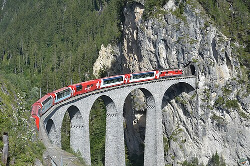
- Glacier Express
“The world’s slowest express”: 291 bridges, 91 tunnels and the 2,033 m Oberalp Pass at an average of 36 km/h.
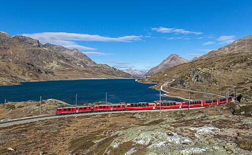
Wikipedia ↗ - Bernina Express
A UNESCO World Heritage railway: 7 % grades with no rack, the Brusio spiral, and the highest rail crossing of the Alps at 2,253 m.
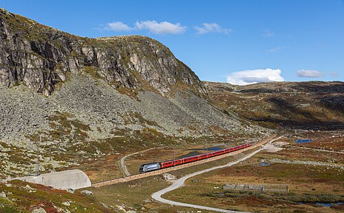
Wikipedia ↗ - Bergensbanen
Northern Europe’s highest main line: over the bare Hardangervidda plateau at 1,237 m, through 182 tunnels.
Wikipedia ↗ - West Highland Line
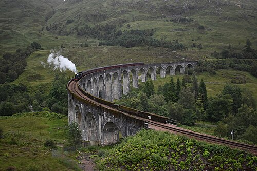
Regularly voted the world’s most scenic railway: around Rannoch Moor and over the 21-arch Glenfinnan Viaduct of film fame.
Wikipedia ↗
More train routes in China.