
🇹🇼 Country
Train routes in Taiwan
10 routes · high-speed 1 · classic 3 · scenic 6
10 routes cross Taiwan in the World Train Map atlas. The longest is the Puyuma Express at 347 km; the fastest is the THSR, running up to 300 km/h; the oldest line dates to 1912. Every route links to its facts, photo and story, and to the interactive world map.
Open the world railway map →High-speed (1)
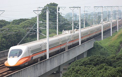
- THSR
Shinkansen technology’s first export: the length of Taiwan’s west coast in ninety minutes.
Wikipedia ↗
Classic (3)
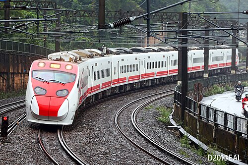
- Puyuma Express
Named for the Puyuma people: tilting trains lean through the Yilan curves, past Qingshui’s sheer sea cliffs, into the East Rift Valley’s rice paddies.
Wikipedia ↗ - Tze-Chiang Limited Express
Taiwan’s flagship Teng-Yun EMU3000, with a business-class car, curving down the wild Pacific east coast from Taipei to Taitung.
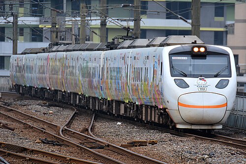
Wikipedia ↗ - Taroko Express
Japanese-built TEMU1000 tilting train carving through the Yilan cliffs and tunnels from Taipei to the marble gorge country of Hualien.
Wikipedia ↗

Scenic (6)
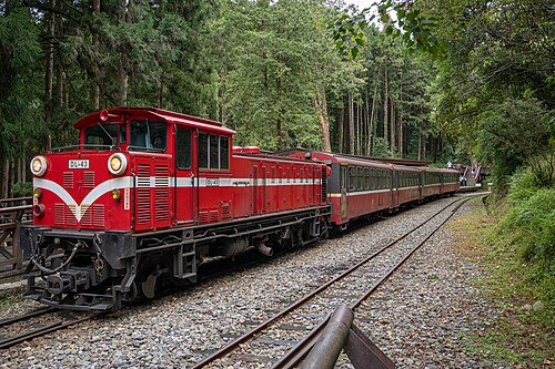
- Alishan Forest Railway
762 mm trains climb 2,186 m in 71 km via the Dulishan spiral and summit switchbacks; fully reopened in 2024, 15 years after Typhoon Morakot.
Wikipedia ↗ - South-Link Line
Taiwan’s last main line to be completed: 35 tunnels through the island’s southern spine to Duoliang’s celebrated platform above the Pacific.
Wikipedia ↗ - Pingxi Line
A 1920s coal branch where railcars squeeze between Shifen’s shop-fronts as sky lanterns lift off: waterfalls and a cat village along the way.
Wikipedia ↗ - Neiwan Line
Hakka-country branch line climbing from Hsinchu into the hills to the old timber and coal town of Neiwan, revived as a heritage day-trip.
Wikipedia ↗ - Jiji Line
Taiwan’s cherished 1922 branch line through betel-palm country and a camphor-tree green tunnel, reopened in 2026 after a landslide closure.
Wikipedia ↗ - Shen’ao Line
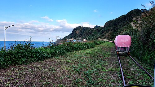
Short coastal branch to Badouzi, the Taiwan station nearest the sea, where rainbow-painted railcars run beside the wave-cut Shen’ao arch.
Wikipedia ↗
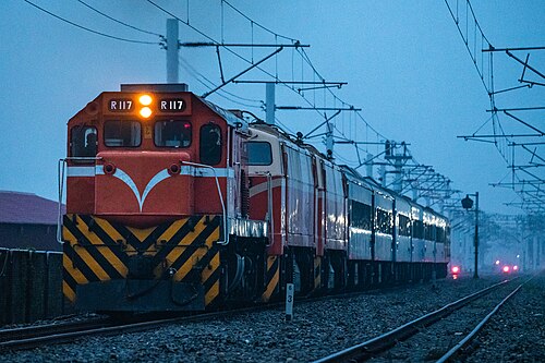
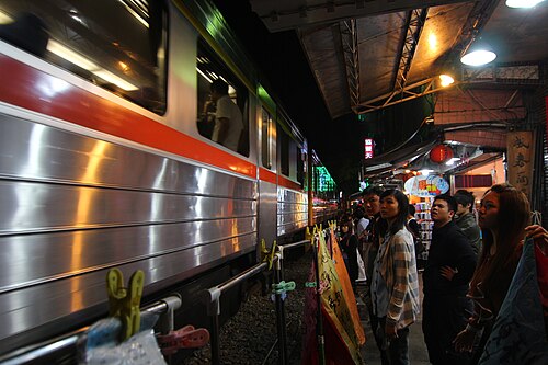
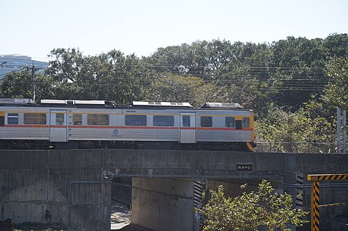
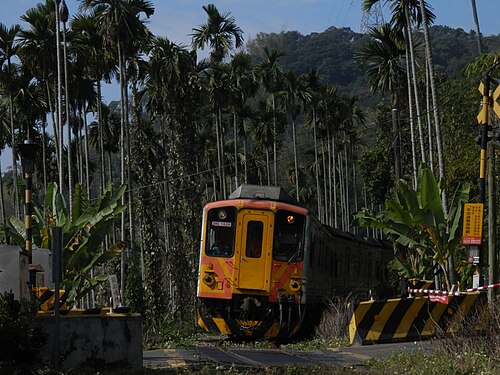
Photos via Wikimedia Commons — each route page credits the author & licence
What is the fastest train in Taiwan?
The THSR, running Taipei to Kaohsiung at up to 300 km/h. It is one of 10 routes in Taiwan in this atlas.
Are there night trains in Taiwan?
Not in this atlas. Taiwan has 10 routes here and none of them is a scheduled sleeper, though night trains from neighbouring countries may still reach it.
Can you cross the border by train from Taiwan?
No route in this atlas crosses a land border out of Taiwan. Every line listed here begins and ends inside the country.
Which is the most scenic railway in Taiwan?
Taiwan has 6 scenic or mountain lines in this atlas. The longest is the South-Link Line, 160 km.