
High-speed route
Alvia Madrid–Santander
Madrid → Santander · Spain
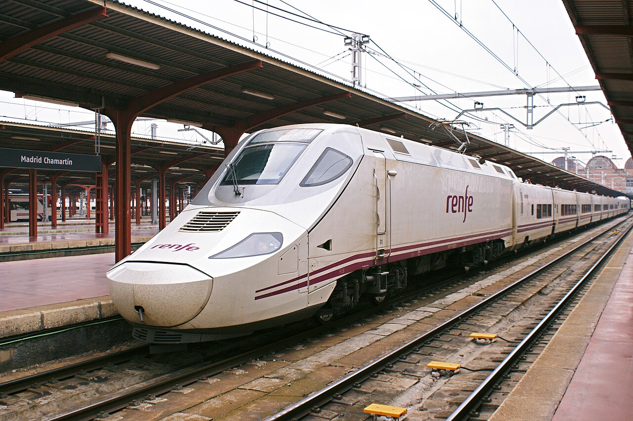
Off the high-speed line at Palencia and over the 1866 Reinosa pass — a mountain descent to the Cantabrian Sea and Santander’s curved bay.
How this line was checked
- The 178 km this route shares with OpenStreetMap relation 1374499 is drawn from that relation's own nodes, thinned to within under 25 m of them
- Checked against OpenStreetMap: 98.4% of this line lies within 250 m of real track (median 13 m); the longest stretch away from it is 4 km
- The operator publishes this line's timetable: Renfe — a place to look it up, not a check of our drawing
- Wikipedia has an article for this line
- See for yourself: open this line on the map with OpenStreetMap's own railway drawn underneath it
Questions and answers
How long is the Alvia?
The Alvia runs 440 km from Madrid to Santander.
How long does the Alvia take?
The fastest scheduled journey is ≈ 4 h for the 440 km. That is an average of 110 km/h end to end. The line's top service speed is 250 km/h.
Who runs the Alvia?
Renfe.
How old is the Alvia?
The line has been in service since 1866. That is the year the atlas dates it from: for a modern brand running over an older railway, it is the railway's date, not the brand's.
More high-speed routes
- Eurostar
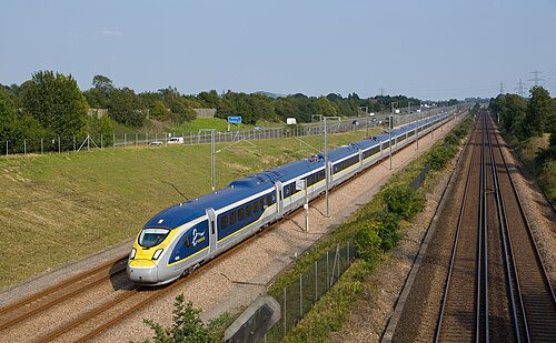
Drops 75 m below the sea through the 50.5 km Channel Tunnel, 37.9 km of it under the seabed, the longest undersea stretch of any rail tunnel.
Wikipedia ↗ - TGV inOui
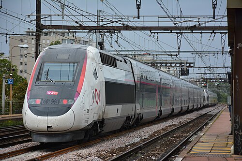
France’s original 1981 LGV forms the first leg; today the TGV holds 320 km/h nearly all the way to the Mediterranean.
Wikipedia ↗ - AVE
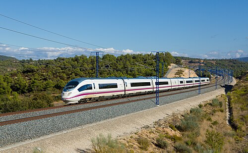
Scheduled at 300 km/h, this line flipped one of the world’s busiest air routes to rail.
Wikipedia ↗ - AVE
Spain’s first AVE, built for Expo ’92 in standard gauge, the line that reset Spanish railways.
Wikipedia ↗
More train routes in Spain.