
Scenic route
R11 Costa Brava Line
Barcelona → Portbou · Spain
View on the map →Wikipedia ↗Stations · 27
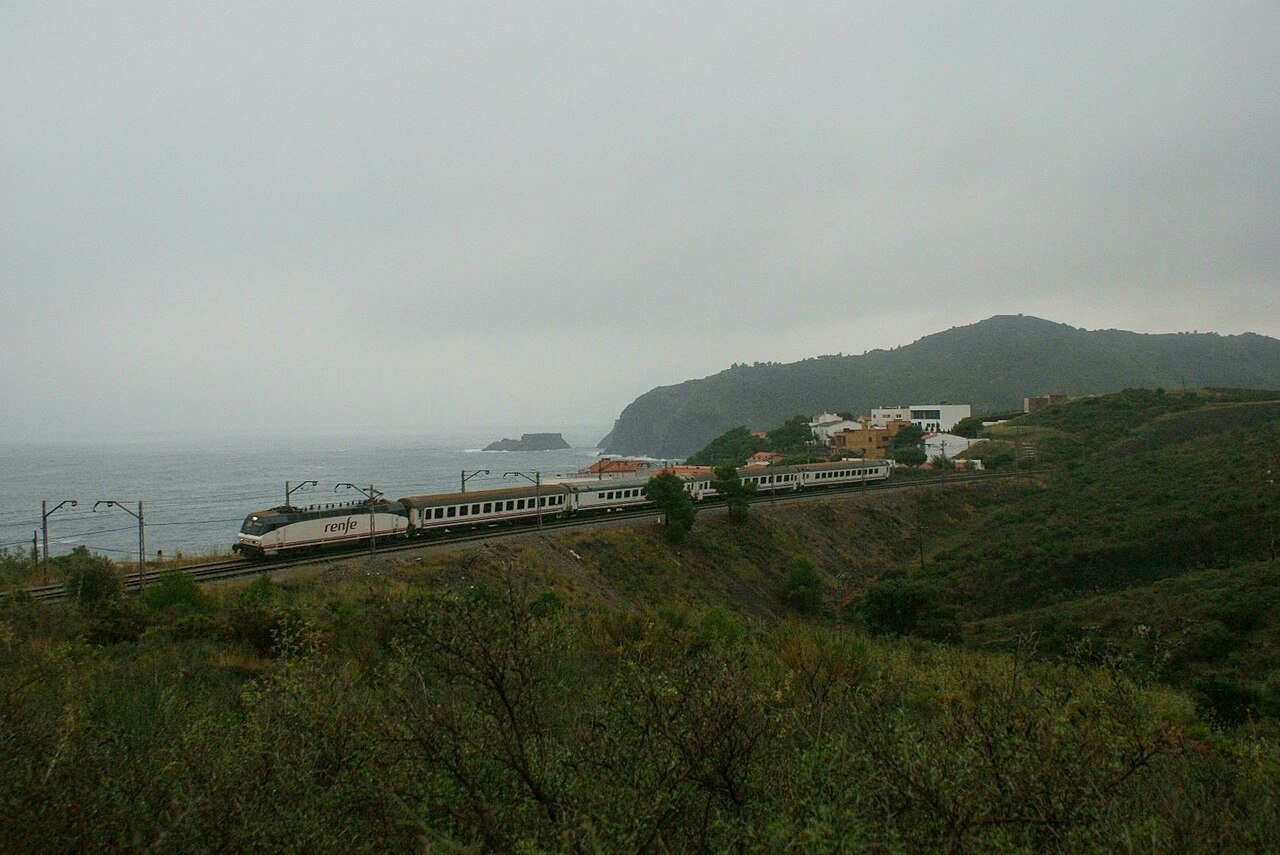
Regional trains skirt Costa Brava cliffs near the French border before Portbou, terminus of the line completed in 1878.
Stations
- 0 kmBarcelona - Sants
- 3 kmBarcelona-Passeig de Gràcia
- 5 kmBarcelona-El Clot
- 8 kmBarcelona-Sant Andreu
- 30 kmGranollers Centre
- 52 kmSant Celoni
Show 16 more stations
- 58 kmGualba
- 60 kmRiells i Viabrea - Breda
- 66 kmHostalric
- 71 kmMaçanet Massanes
- 79 kmSils
- 85 kmCaldes de Malavella
- 91 kmRiudellots de la Selva
- 96 kmFornells de la Selva
- 101 kmGirona
- 110 kmCelrà
- 113 kmBordils - Juià
- 117 kmFlaçà
- 119 kmSant Jordi Desvalls
- 126 kmCamallera
- 132 kmSant Miquel de Fluvià
- 137 kmVilamalla
- 142 kmFigueres
- 154 kmVilajuïga
- 161 kmLlançà
- 166 kmColera
- 168 kmPortbou
The stations OpenStreetMap lists for this service, in order, with the distance along the line as drawn here. A train may skip some of them.
How this line was checked
- Line drawn from OpenStreetMap relation 6021916 — the same nodes OpenStreetMap holds for this railway, thinned to within under 25 m of them
- Checked against OpenStreetMap: the whole line lies on real track, a median 4 m from it
- Checked against the running timetable via ÖBB Scotty: our line sits under 100 m from the shape of R 15904
- Wikipedia has an article for this line
- See for yourself: open this line on the map with OpenStreetMap's own railway drawn underneath it
Questions and answers
How long is the R11 Costa Brava Line?
The R11 Costa Brava Line runs 172 km from Barcelona to Portbou.
How long does the R11 Costa Brava Line take?
The fastest scheduled journey is 2 h 21 min for the 172 km. That is an average of 73 km/h end to end. The line's top service speed is 140 km/h.
Who runs the R11 Costa Brava Line?
Rodalies de Catalunya, with Renfe Class 447/449 EMU.
How old is the R11 Costa Brava Line?
The line has been in service since 1878. That is the year the atlas dates it from: for a modern brand running over an older railway, it is the railway's date, not the brand's.
More scenic routes
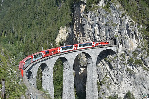
- Glacier Express
“The world’s slowest express”: 291 bridges, 91 tunnels and the 2,033 m Oberalp Pass at an average of 36 km/h.
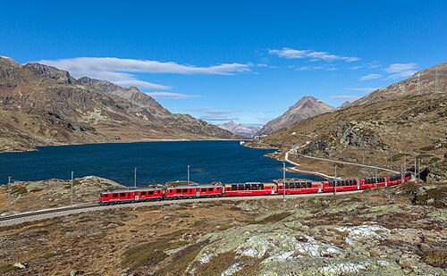
Wikipedia ↗ - Bernina Express
A UNESCO World Heritage railway: 7 % grades with no rack, the Brusio spiral, and the highest rail crossing of the Alps at 2,253 m.
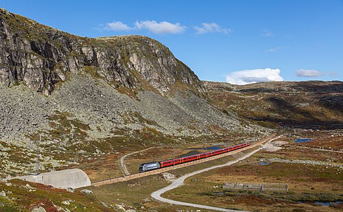
Wikipedia ↗ - Bergensbanen
Northern Europe’s highest main line: over the bare Hardangervidda plateau at 1,237 m, through 182 tunnels.
Wikipedia ↗ - West Highland Line
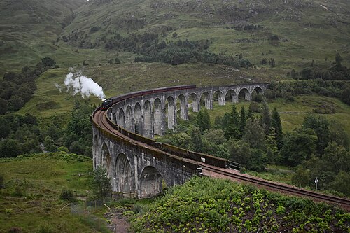
Regularly voted the world’s most scenic railway: around Rannoch Moor and over the 21-arch Glenfinnan Viaduct of film fame.
Wikipedia ↗
More train routes in Spain.