


Scenic route
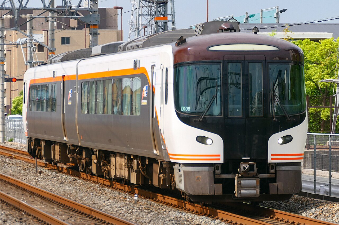
Limited Express Hida
Nagoya → Toyama · Japan
Hybrid HC85s shadow the jade-green Hida River for hours of gorge: riverside onsen at Gero, morning markets at Takayama, then down to Toyama Bay.
- Distance
- 256 km
- Fastest time
- 3 h 50 min
- Average speed
- 67 km/h
- Top speed
- 120 km/h
Stations
- 0 kmNagoya +2
- 30 kmGifu
- 58 kmMino-Ōta
- 118 kmGero
- 166 kmTakayama
- 181 kmHida-Furukawa
- 218 kmInotani
- 238 kmEtchū-Yatsuo
- 247 kmHayahoshi
- 254 kmToyama +1
The stations the Wikipedia article lists as this train’s stops, in order along the line as drawn here, with the distance along it. A train may skip some of them. A +N after a station: N other routes on this map stop or end there, and the map draws it as a station where lines meet.
How this line was checked
- Line drawn from 2 OpenStreetMap relations, their own nodes end to end: relation 1830049 (30 km), relation 1864328 (216 km), 246 km of the route between them
- Checked against OpenStreetMap: the whole line lies on real track, a median 9 m from it
- The operator publishes this line's timetable: JR Central, a place to look it up, not a check of our drawing
- Wikipedia has an article for this line
Questions and answers
How long is the Limited Express Hida?
The Limited Express Hida runs 256 km from Nagoya to Toyama.
How long does the Limited Express Hida take?
The fastest scheduled journey is 3 h 50 min for the 256 km. That is an average of 67 km/h end to end. The line's top service speed is 120 km/h.
Who runs the Limited Express Hida?
JR Central, with HC85 hybrid DMU.
How old is the Limited Express Hida?
The line has been in service since 1968. That is the year the atlas dates it from: for a modern brand running over an older railway, it is the railway's date, not the brand's.
More scenic routes
- Glacier Express
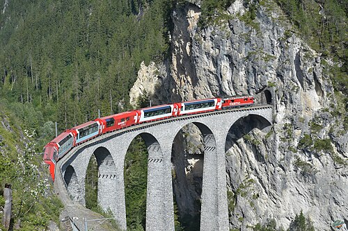
“The world’s slowest express”: 291 bridges, 91 tunnels and the 2,033 m Oberalp Pass at an average of 36 km/h.
Wikipedia ↗ - Bernina Express
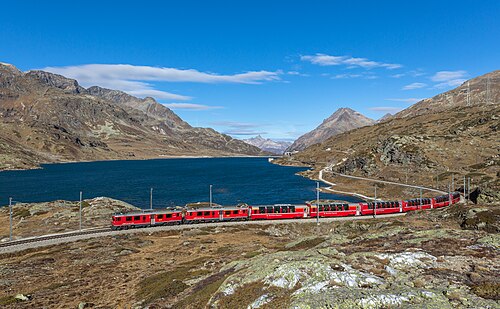
A UNESCO World Heritage railway: 7 % grades with no rack, the Brusio spiral, and the highest rail crossing of the Alps at 2,253 m.
Wikipedia ↗ - Bergensbanen
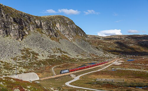
Northern Europe’s highest main line: over the bare Hardangervidda plateau at 1,237 m, through 182 tunnels.
Wikipedia ↗ - West Highland Line
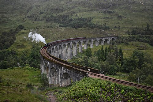
Regularly voted the world’s most scenic railway: around Rannoch Moor and over the 21-arch Glenfinnan Viaduct of film fame.
Wikipedia ↗

More train routes in Japan.