
High-speed route
Hokuriku Shinkansen
Tokyo → Tsuruga · Japan
View on the map →Wikipedia ↗Stations · 17
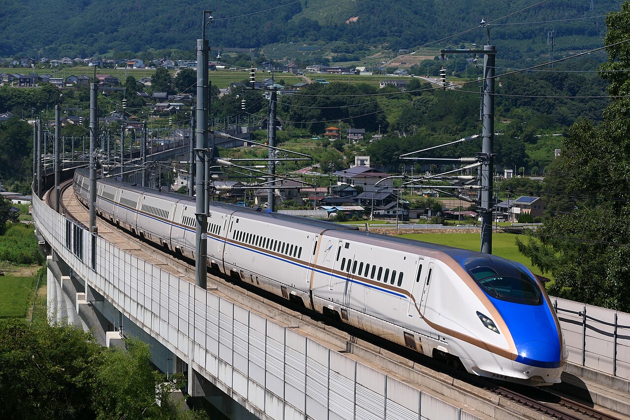
Over the Japanese Alps to the samurai gardens of Kanazawa: copper-and-blue E7s built for deep snow country.
The run to the Sea of Japan opens with a long mountain climb to the resort town of Karuizawa, at 941 m the highest point reached anywhere on the shinkansen network. Beyond Nagano, host of the 1998 Winter Olympics, the line threads tunnel after tunnel to the coast at Itoigawa, the Tateyama peaks filling the left-hand windows on the approach to Toyama. Through running to Kanazawa began in 2015, putting Kenroku-en garden and the Higashi Chaya teahouse lanes under three hours from Tokyo.
Stations
- 0 kmTokyo +8
- 4 kmUeno +4
- 31 kmOmiya +4
- 226 kmNagano +2
- 256 kmIiyama
- 285 kmJoetsu-Myoko +2
Show 6 more stations
- 322 kmItoigawa +1
- 361 kmKurobe-Unazuki-Onsen
- 395 kmToyama +1
- 414 kmShin-Takaoka +1
- 454 kmKanazawa +1
- 481 kmKomatsu
- 495 kmKagaonsen
- 512 kmAwaraonsen
- 530 kmFukui +1
- 549 kmEchizen-Takefu
- 579 kmTsuruga +1
The stations OpenStreetMap lists for a train that runs this route end to end, in order, with the distance along the line as drawn here. A train may skip some of them. A +N after a station: N other routes on this map stop or end there, and the map draws it as a station where lines meet.
Along the way
- Karuizawa at 941 m
- Zenkō-ji temple, Nagano
- Sea of Japan at Itoigawa
- Tateyama range from Toyama
- Kenroku-en garden, Kanazawa
How this line was checked
- Line drawn from OpenStreetMap relation 1926393 — the same nodes OpenStreetMap holds for this railway, thinned to within under 25 m of them
- Checked against OpenStreetMap: the whole line lies on real track, a median 5 m from it
- The operator publishes this line's timetable: JR East · JR West — a place to look it up, not a check of our drawing
- Wikipedia has an article for this line
- See for yourself: open this line on the map with OpenStreetMap's own railway drawn underneath it
Questions and answers
How long is the Hokuriku Shinkansen?
The Hokuriku Shinkansen runs 576 km from Tokyo to Tsuruga.
How long does the Hokuriku Shinkansen take?
The fastest scheduled journey is 3 h 8 min for the 576 km. That is an average of 184 km/h end to end. The line's top service speed is 260 km/h.
Who runs the Hokuriku Shinkansen?
JR East and JR West, with E7 / W7 Series.
How old is the Hokuriku Shinkansen?
The line has been in service since 2015. That is the year the atlas dates it from: for a modern brand running over an older railway, it is the railway's date, not the brand's.
How high does the Hokuriku Shinkansen climb?
941 m above sea level at its highest point.
More high-speed routes
- Eurostar
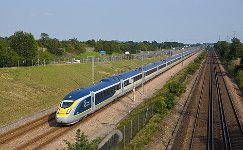
Drops 75 m below the sea through the 50.5 km Channel Tunnel, 37.9 km of it under the seabed, the longest undersea stretch of any rail tunnel.
Wikipedia ↗ - TGV inOui
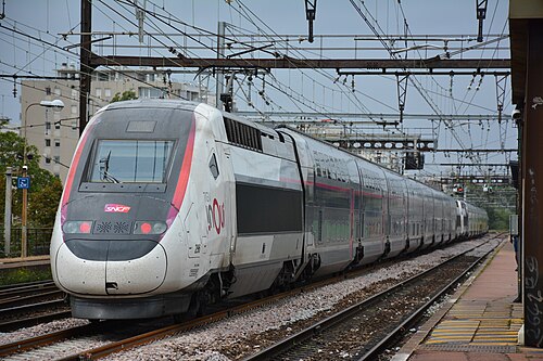
France’s original 1981 LGV forms the first leg; today the TGV holds 320 km/h nearly all the way to the Mediterranean.
Wikipedia ↗ - AVE
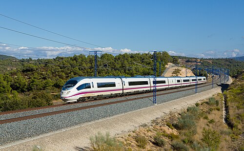
Scheduled at 300 km/h, this line flipped one of the world’s busiest air routes to rail.
Wikipedia ↗ - AVE
Spain’s first AVE, built for Expo ’92 in standard gauge, the line that reset Spanish railways.
Wikipedia ↗
More train routes in Japan.