Classic route
Intercity+ Kyiv–Przemyśl
Kyiv → Przemyśl · Ukraine · Poland
View on the map →Wikipedia (UK) ↗Stations · 7
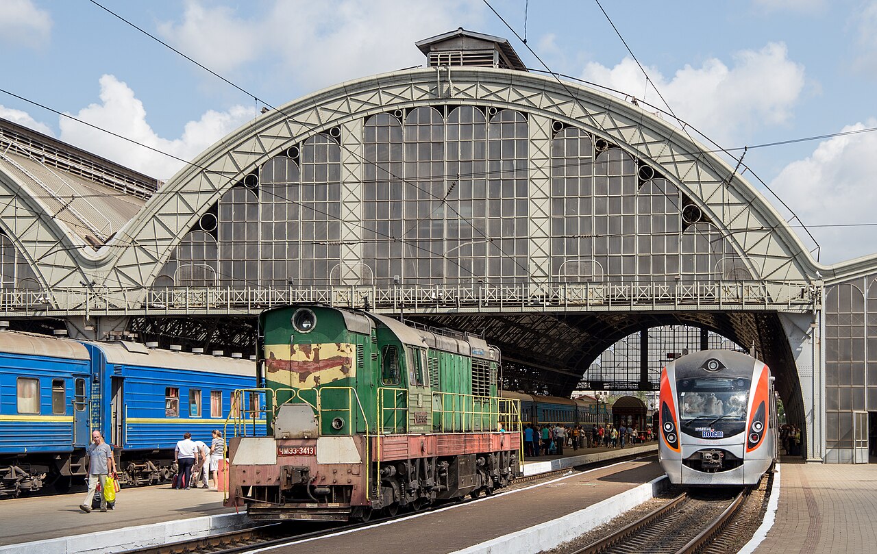
The first Intercity+ to cross a border, and since 2022 the way most of Ukraine reaches the European Union: Kyiv to the Polish frontier at Przemysl in nine hours, through Vinnytsia, Khmelnytskyi, Ternopil and Lviv.
Stations
- 0 kmKyiv Passenger +9
- 158 kmKazatin +1
- 220 kmVinnytsia +1
- 363 kmKhmelnytskyi
- 481 kmTernopil
- 621 kmЛьвiв-Головний +3
- 718 kmPrzemyśl Główny +3
The stations OpenStreetMap lists for this service, in order, with the distance along the line as drawn here. A train may skip some of them. A +N after a station: N other routes on this map stop or end there, and the map draws it as a station where lines meet.
How this line was checked
- Line drawn from OpenStreetMap relation 18797987 — the same nodes OpenStreetMap holds for this railway, thinned to within 30 m of them
- Checked against OpenStreetMap: the whole line lies on real track, a median 7 m from it
- Checked against the running timetable via ÖBB Scotty: our line sits under 100 m from the shape of IC 715
- Wikipedia has an article for this line
- See for yourself: open this line on the map with OpenStreetMap's own railway drawn underneath it
Questions and answers
How long is the Intercity+?
The Intercity+ runs 719 km from Kyiv to Przemyśl. It runs through Ukraine and Poland.
How long does the Intercity+ take?
The fastest scheduled journey is 9 h for the 719 km. That is an average of 80 km/h end to end. The line's top service speed is 160 km/h.
Who runs the Intercity+?
Ukrainian Railways, with Hyundai Rotem HRCS2.
How old is the Intercity+?
The line has been in service since 2016. That is the year the atlas dates it from: for a modern brand running over an older railway, it is the railway's date, not the brand's.
More classic routes
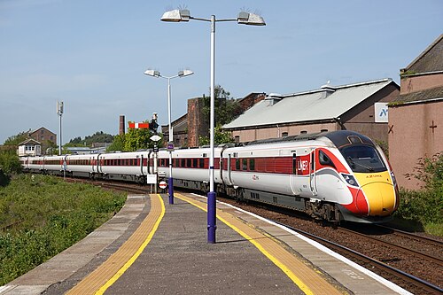
- LNER Azuma
The Flying Scotsman’s route since 1862: and where Mallard set the never-beaten steam record of 203 km/h in 1938.
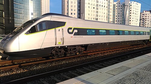
Wikipedia ↗ - Alfa Pendular
A tilting Pendolino leaning through the curves of the 19th-century Linha do Norte between Portugal’s two great cities.
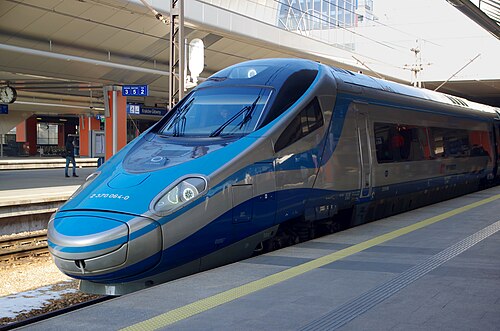
Wikipedia ↗ - EIP Pendolino
Rides Poland’s 1970s Central Main Line (CMK), engineered decades ahead of its time and now being upgraded to 250 km/h.
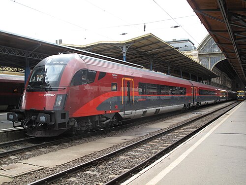
Wikipedia ↗ - Railjet
Follows the old Orient Express alignment down the Danube plain: centre to centre faster than any flight.
Wikipedia ↗