
Scenic route
Linha do Douro
Porto → Pocinho · Portugal
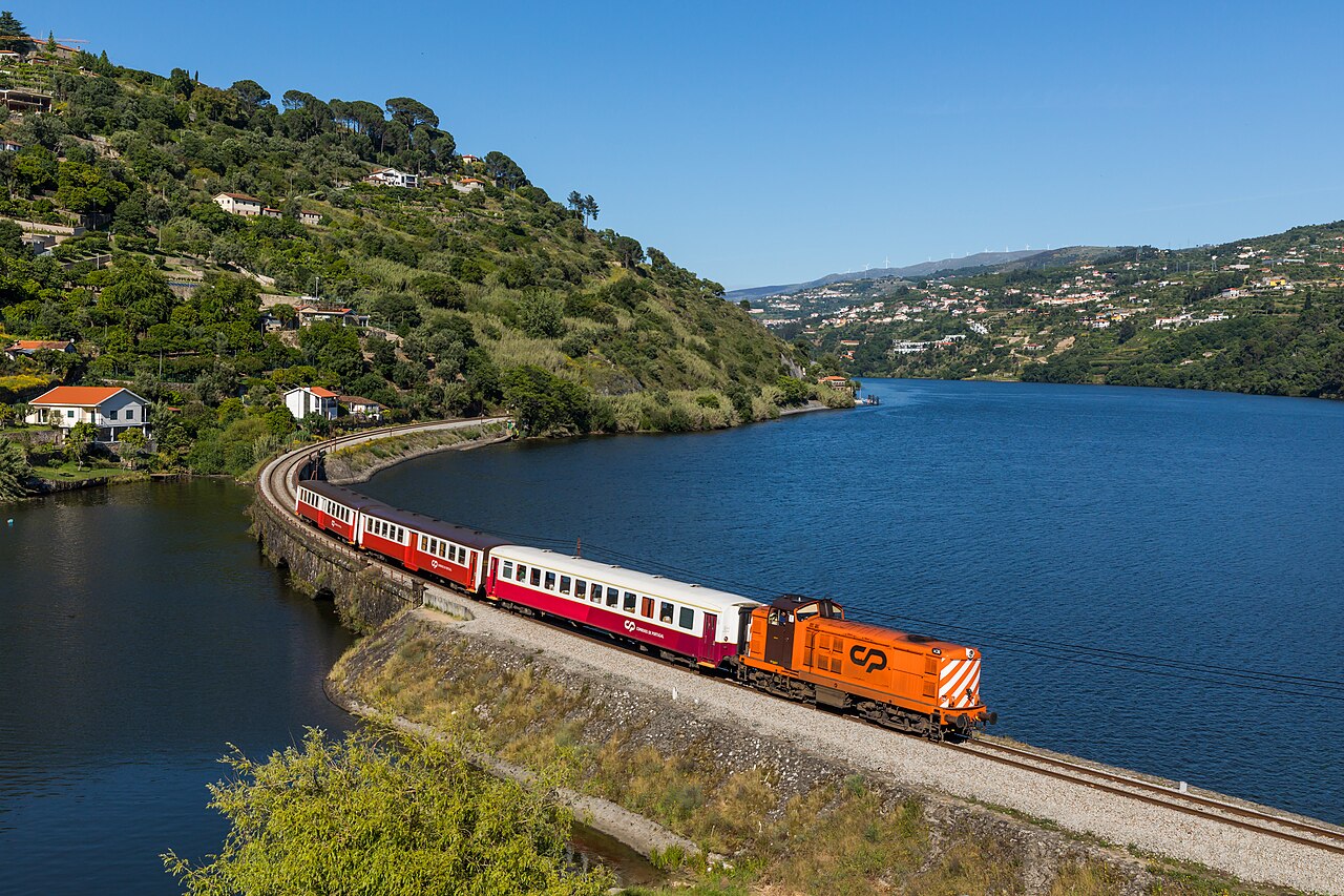
Clings to the Douro’s waterline for some 100 km on ledges blasted out in the 1880s, passing UNESCO-listed port-wine terraces at Régua and Pinhão.
Beyond Régua the valley narrows until vineyard terraces rise straight from the water, shaped by hand across three centuries of port-wine making. The rails once continued over the Spanish frontier: that lonely section closed in 1988, leaving Pocinho as a dead end deep in wine country and all the better for it. Pinhão is the set-piece stop, its station faced with azulejo panels of the vintage, and in late September the harvest spills down to the quays below the line.
Along the way
- São Bento azulejos, Porto
- Douro riverside from Mosteirô
- Peso da Régua wine quays
- Pinhão’s tiled station
- Valeira gorge
- Pocinho — gateway to Côa rock art
How this line was checked
- The 163 km this route shares with OpenStreetMap relation 1724300 is drawn from that relation's own nodes, thinned to within 31 m of them
- Checked against OpenStreetMap: the whole line lies on real track, a median 9 m from it
- Checked against the running timetable via ÖBB Scotty: our line sits under 100 m from the shape of IR 861
- Wikipedia has an article for this line
- See for yourself: open this line on the map with OpenStreetMap's own railway drawn underneath it
Questions and answers
How long is the Linha do Douro?
The Linha do Douro runs 170 km from Porto to Pocinho.
How long does the Linha do Douro take?
The fastest scheduled journey is 3 h 20 min for the 170 km. That is an average of 51 km/h end to end. The line's top service speed is 120 km/h.
Who runs the Linha do Douro?
CP Comboios de Portugal, with Série 592 railcar.
How old is the Linha do Douro?
The line has been in service since 1887. That is the year the atlas dates it from: for a modern brand running over an older railway, it is the railway's date, not the brand's.
How often does the Linha do Douro run?
5–6× daily each way (more as far as Régua).
More scenic routes
- Glacier Express
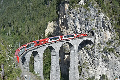
“The world’s slowest express”: 291 bridges, 91 tunnels and the 2,033 m Oberalp Pass at an average of 36 km/h.
Wikipedia ↗ - Bernina Express
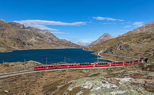
A UNESCO World Heritage railway: 7 % grades with no rack, the Brusio spiral, and the highest rail crossing of the Alps at 2,253 m.
Wikipedia ↗ - Bergensbanen
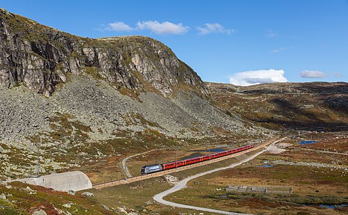
Northern Europe’s highest main line: over the bare Hardangervidda plateau at 1,237 m, through 182 tunnels.
Wikipedia ↗ - West Highland Line
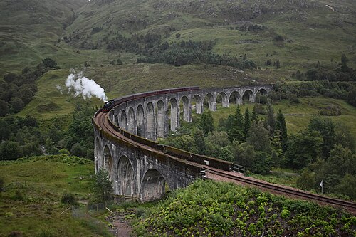
Regularly voted the world’s most scenic railway: around Rannoch Moor and over the 21-arch Glenfinnan Viaduct of film fame.
Wikipedia ↗
More train routes in Portugal.