
Scenic route
Perpignan–Villefranche line
Villefranche-de-Conflent → Perpignan · France
View on the map →Wikipedia (FR) ↗Stations · 10
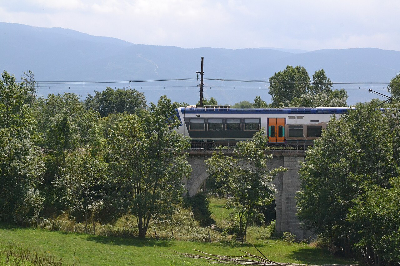
Up the Têt from the Mediterranean at Perpignan into the Pyrenean foothills, ending where the metre-gauge Train Jaune takes over at Villefranche.
Stations
- 0 kmVillefranche-de-Conflent / Vernet-les-Bains / Fuilla
- 2 kmRia
- 6 kmPrades-Molitg-les-Bains
- 11 kmMarquixanes
- 15 kmVinça
- 24 kmIlle-sur-Têt
- 30 kmMillas
- 34 kmSaint-Féliu-d'Avall
- 38 kmLe Soler
- 46 kmPerpignan
The stations OpenStreetMap lists for this service, in order, with the distance along the line as drawn here. A train may skip some of them.
How this line was checked
- Line drawn from OpenStreetMap relation 4712518 — the same nodes OpenStreetMap holds for this railway, thinned to within under 25 m of them
- Checked against OpenStreetMap: the whole line lies on real track, a median 3 m from it
- Checked against the running timetable via ÖBB Scotty: our line sits under 100 m from the shape of TER 87765
- Wikipedia has an article for this line
- See for yourself: open this line on the map with OpenStreetMap's own railway drawn underneath it
Questions and answers
How long is the Perpignan–Villefranche line?
The Perpignan–Villefranche line runs 46 km from Villefranche-de-Conflent to Perpignan.
How long does the Perpignan–Villefranche line take?
The fastest scheduled journey is ≈ 55 min for the 46 km. That is an average of 50 km/h end to end.
Who runs the Perpignan–Villefranche line?
SNCF, with TER Occitanie.
How old is the Perpignan–Villefranche line?
The line has been in service since 1868. That is the year the atlas dates it from: for a modern brand running over an older railway, it is the railway's date, not the brand's.
More scenic routes
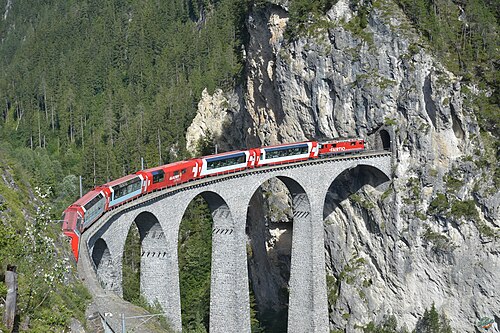
- Glacier Express
“The world’s slowest express”: 291 bridges, 91 tunnels and the 2,033 m Oberalp Pass at an average of 36 km/h.
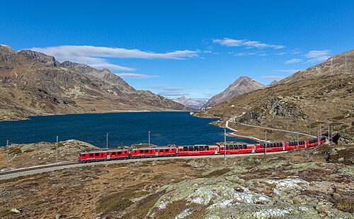
Wikipedia ↗ - Bernina Express
A UNESCO World Heritage railway: 7 % grades with no rack, the Brusio spiral, and the highest rail crossing of the Alps at 2,253 m.
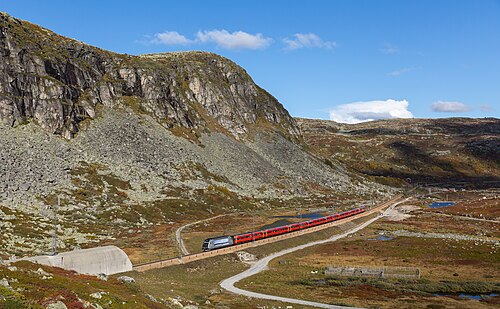
Wikipedia ↗ - Bergensbanen
Northern Europe’s highest main line: over the bare Hardangervidda plateau at 1,237 m, through 182 tunnels.
Wikipedia ↗ - West Highland Line
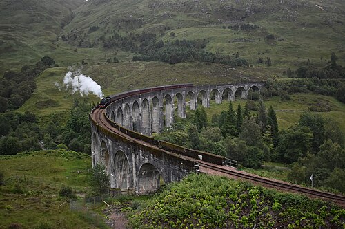
Regularly voted the world’s most scenic railway: around Rannoch Moor and over the 21-arch Glenfinnan Viaduct of film fame.
Wikipedia ↗
More train routes in France.