
Classic route
Rome–Sulmona–Pescara railway
Rome → Pescara · Italy
View on the map →Wikipedia ↗Stations · 57
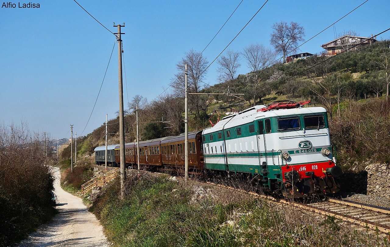
Rome to the Adriatic the hard way, over the Apennines by Tivoli, the drained Fucino basin at Avezzano and Sulmona, where the Transiberiana d’Italia branches into the Abruzzo highlands.
The 240 km from Rome to the Adriatic run through Lazio and Abruzzo by way of Tivoli, Avezzano and Sulmona, and take about three and a half hours by regionale.
Stations
- 0 kmRome +11
- 4 kmRoma Tiburtina +4
- 7 kmRoma Prenestina
- 8 kmSerenissima
- 9 kmPalmiro Togliatti
- 10 kmTor Sapienza
Show 46 more stations
- 12 kmLa Rustica Città
- 13 kmLa Rustica U.I.R.
- 14 kmSalone
- 16 kmPonte di Nona
- 17 kmLunghezza
- 23 kmTivoli Terme
- 26 kmGuidonia Collefiorito
- 36 kmMarcellina-Palombara
- 42 kmTivoli
- 49 kmCastel Madama
- 56 kmValle dell'Aniene-Mandela-Sambuci
- 63 kmRoviano
- 67 kmArsoli
- 72 kmOricola-Pereto
- 76 kmCarsoli
- 82 kmColli di Monte Bove
- 88 kmSante Marie
- 93 kmTagliacozzo
- 98 kmVilla San Sebastiano
- 101 kmScurcola Marsicana
- 103 kmCappelle-Magliano
- 108 kmAvezzano +1
- 113 kmPaterno-San Pelino
- 119 kmCelano-Ovindoli
- 123 kmAielli
- 124 kmCerchio
- 128 kmCollarmele
- 133 kmPescina
- 138 kmCarrito-Ortona
- 143 kmCocullo
- 149 kmGoriano Sicoli
- 156 kmPrezza
- 162 kmAnversa-Villalago-Scanno
- 166 kmBugnara
- 172 kmSulmona
- 173 kmSulmona Santa Rufina
- 178 kmPratola Peligna
- 187 kmPopoli-Vittorito
- 191 kmBussi
- 197 kmTocco-Castiglione
- 202 kmTorre dei Passeri
- 204 kmPiano d'Orta Bolognano
- 208 kmScafa-San Valentino-Caramanico Terme
- 211 kmAlanno
- 216 kmManoppello
- 221 kmInterporto d’Abruzzo
- 225 kmChieti
- 227 kmChieti Madonna delle Piane
- 236 kmPescara San Marco
- 239 kmPescara Porta Nuova
- 240 kmPescara Centrale
The stations OpenStreetMap maps along this line, in order along the line as drawn here, with the distance along it. Not every train stops at every station. A +N after a station: N other routes on this map stop or end there, and the map draws it as a station where lines meet.
Along the way
- Tivoli
- Avezzano
- Sulmona
- Pescara on the Adriatic
How this line was checked
- The 234 km this route shares with OpenStreetMap relation 13401418 is drawn from that relation's own nodes, thinned to within 41 m of them
- Checked against OpenStreetMap: the whole line lies on real track, a median 13 m from it
- Checked against the running timetable via ÖBB Scotty: our line sits under 100 m from the shape of RE 4164
- Wikipedia has an article for this line
- See for yourself: open this line on the map with OpenStreetMap's own railway drawn underneath it
Questions and answers
How long is the Rome–Sulmona–Pescara railway?
The Rome–Sulmona–Pescara railway runs 237 km from Rome to Pescara.
How long does the Rome–Sulmona–Pescara railway take?
The fastest scheduled journey is ≈ 3 h 30 min for the 237 km. That is an average of 68 km/h end to end.
Who runs the Rome–Sulmona–Pescara railway?
Trenitalia, with RE 4266, Regionale.
How old is the Rome–Sulmona–Pescara railway?
The line has been in service since 1888. That is the year the atlas dates it from: for a modern brand running over an older railway, it is the railway's date, not the brand's.
More classic routes
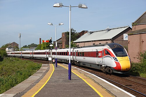
- LNER Azuma
The Flying Scotsman’s route since 1862, and where Mallard set the never-beaten steam record of 203 km/h in 1938.
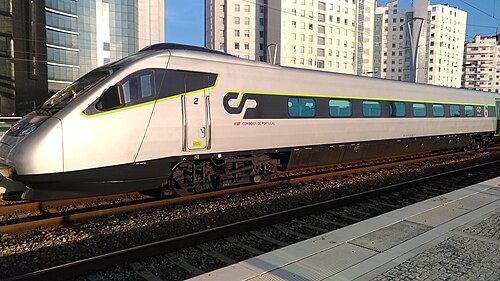
Wikipedia ↗ - Alfa Pendular
A tilting Pendolino leaning through the curves of the 19th-century Linha do Norte between Portugal’s two great cities.
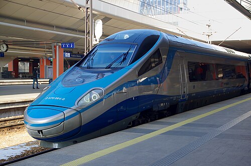
Wikipedia ↗ - EIP Pendolino
Rides Poland’s 1970s Central Main Line (CMK), engineered decades ahead of its time and now being upgraded to 250 km/h.
Wikipedia ↗ - Railjet
Follows the old Orient Express alignment down the Danube plain: centre to centre faster than any flight.
Wikipedia ↗
More train routes in Italy.