


Night train route
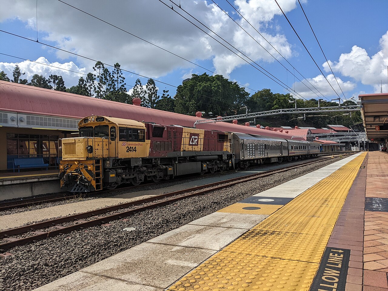
The Westlander
Brisbane → Charleville · Australia
Over the Toowoomba range by night and out across the Darling Downs: twice a week until the wheat gives way to mulga at Charleville.
- Distance
- 777 km
- Fastest time
- ≈ 17 h
- Average speed
- 46 km/h
- Top speed
- 80 km/h
Stations
- 0 kmRoma Street +5
- 18 kmCorinda
- 44 kmIpswich
- 63 kmRosewood
- 88 kmLaidley
- 103 kmGatton
Show 6 more stations
- 121 kmHelidon
- 166 kmToowoomba
- 196 kmOakey
- 248 kmDalby
- 329 kmChinchilla
- 375 kmMiles
- 456 kmYuleba
- 515 kmRoma
- 601 kmMitchell
- 690 kmMorven
- 780 kmCharleville
The stations OpenStreetMap lists for this service, in order, with the distance along the line as drawn here. A train may skip some of them. A +N after a station: N other routes on this map stop or end there, and the map draws it as a station where lines meet.
How this line was checked
- Line drawn from OpenStreetMap relation 16272343: the same nodes OpenStreetMap holds for this railway, thinned to within under 25 m of them
- Checked against OpenStreetMap: 99.2% of this line lies within 250 m of real track (median 6 m); the longest stretch away from it is 6 km
- The operator publishes this line's timetable: Queensland Rail, a place to look it up, not a check of our drawing
- Wikipedia has an article for this line
- See for yourself: open this line on the map with OpenStreetMap's own railway drawn underneath it
Questions and answers
How long is The Westlander?
The Westlander runs 777 km from Brisbane to Charleville.
How long does The Westlander take?
The fastest scheduled journey is ≈ 17 h for the 777 km. That is an average of 46 km/h end to end. The line's top service speed is 80 km/h.
Who runs The Westlander?
Queensland Rail, with Loco-hauled night train.
How old is The Westlander?
The line has been in service since 1954. That is the year the atlas dates it from: for a modern brand running over an older railway, it is the railway's date, not the brand's.
More night train routes
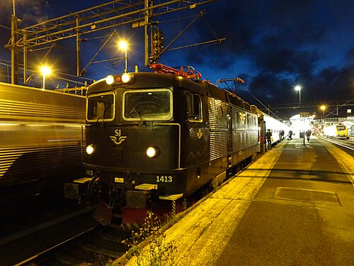
- EuroNight
Scandinavia’s night-train revival: across the Öresund while you sleep, into Germany by breakfast.
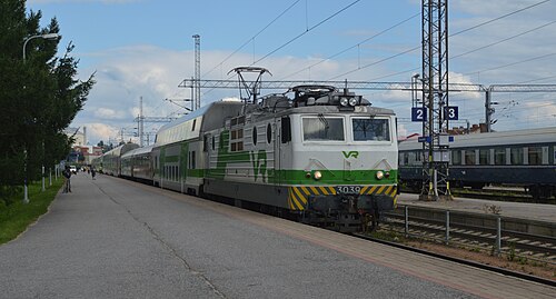
Wikipedia ↗ - Santa Claus Express
Rolls out of Helsinki by night and crosses into Lapland by morning: sleepers and car carriers bound for the Arctic Circle.
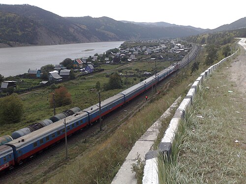
- Trans-Siberian Railway
The longest railway on Earth: 9,289 km, eight time zones and seven nights between Moscow and the Pacific.
Wikipedia ↗ - Mumbai Rajdhani
India’s first Rajdhani: the overnight flagship linking the capital with the financial capital, now in bright Tejas livery.
Wikipedia ↗

All sleepers serving these cities: night trains from Brisbane · all 119 night trains.
More train routes in Australia.