
Classic route
Wolverine
Chicago → Pontiac · United States
View on the map →Wikipedia ↗Stations · 14
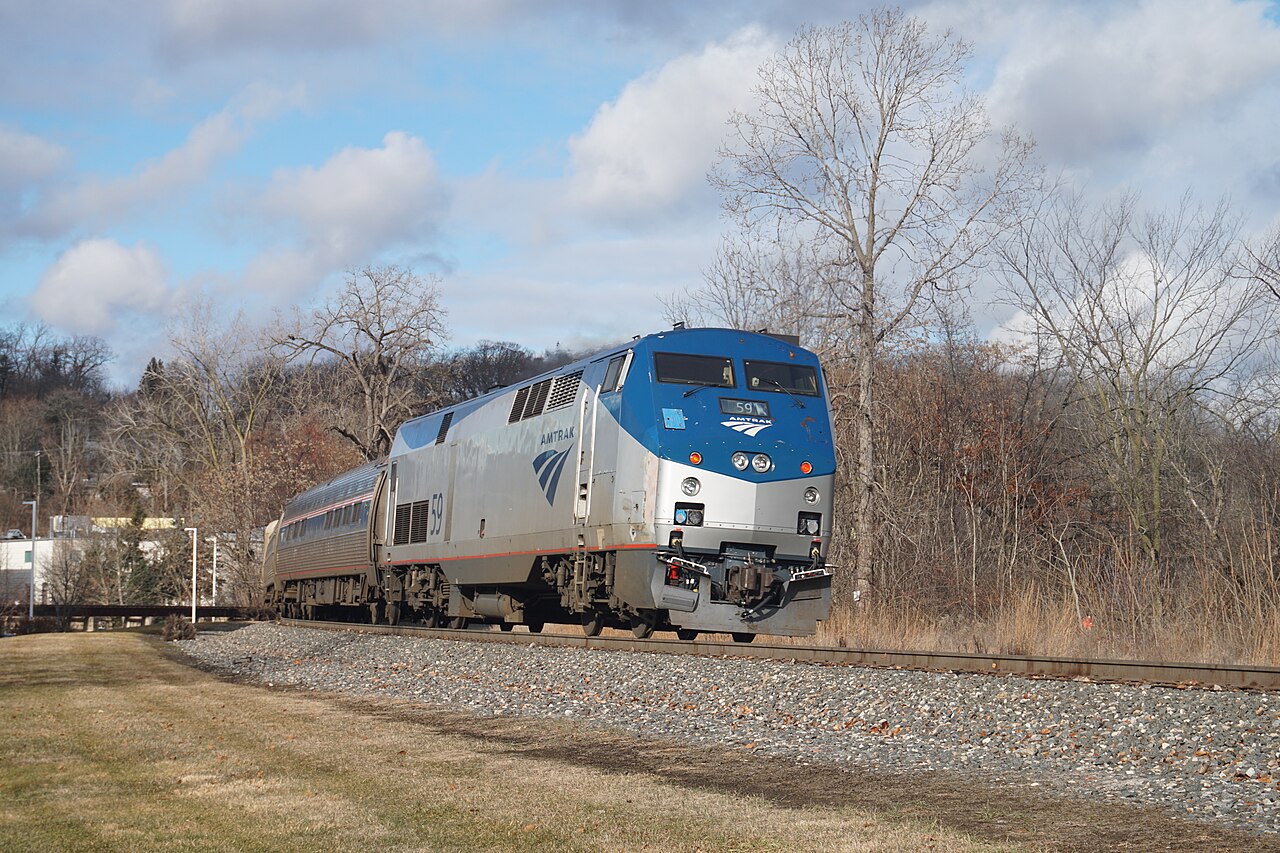
Hits 110 mph on state-owned track between Kalamazoo and Dearborn: one of the few 100-mph corridors outside the Northeast.
Stations
- 0 kmChicago Union Station
- 26 kmHammond-Whiting
- 100 kmNew Buffalo
- 143 kmNiles
- 163 kmDowagiac
- 221 kmKalamazoo
- 257 kmBattle Creek
- 330 kmJackson
- 391 kmAnn Arbor
- 436 kmDearborn
- 452 kmDetroit
- 468 kmRoyal Oak
- 475 kmTroy
- 488 kmPontiac
The stations OpenStreetMap lists for this service, in order, with the distance along the line as drawn here. A train may skip some of them.
How this line was checked
- Line drawn from OpenStreetMap relation 1665342 — the same nodes OpenStreetMap holds for this railway, thinned to within under 25 m of them
- Checked against OpenStreetMap: the whole line lies on real track, a median 4 m from it
- Checked against the running timetable via Amtrak: our line sits under 100 m from the shape of the Wolverine to Pontiac
- Wikipedia has an article for this line
- See for yourself: open this line on the map with OpenStreetMap's own railway drawn underneath it
Questions and answers
How long is the Wolverine?
The Wolverine runs 489 km from Chicago to Pontiac.
How long does the Wolverine take?
The fastest scheduled journey is 6 h for the 489 km. That is an average of 82 km/h end to end. The line's top service speed is 177 km/h.
Who runs the Wolverine?
Amtrak and MDOT, with Siemens Venture, Charger.
How old is the Wolverine?
The line has been in service since 1971. That is the year the atlas dates it from: for a modern brand running over an older railway, it is the railway's date, not the brand's.
More classic routes
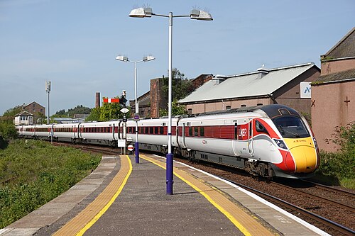
- LNER Azuma
The Flying Scotsman’s route since 1862: and where Mallard set the never-beaten steam record of 203 km/h in 1938.
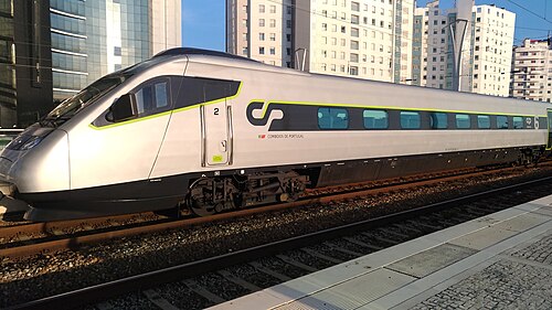
Wikipedia ↗ - Alfa Pendular
A tilting Pendolino leaning through the curves of the 19th-century Linha do Norte between Portugal’s two great cities.
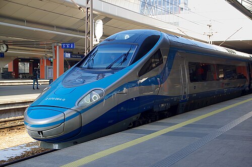
Wikipedia ↗ - EIP Pendolino
Rides Poland’s 1970s Central Main Line (CMK), engineered decades ahead of its time and now being upgraded to 250 km/h.
Wikipedia ↗ - Railjet
Follows the old Orient Express alignment down the Danube plain: centre to centre faster than any flight.
Wikipedia ↗
More train routes in United States.