
Scenic route
California Zephyr
Chicago → San Francisco · United States
View on the map →Wikipedia ↗Stations · 35
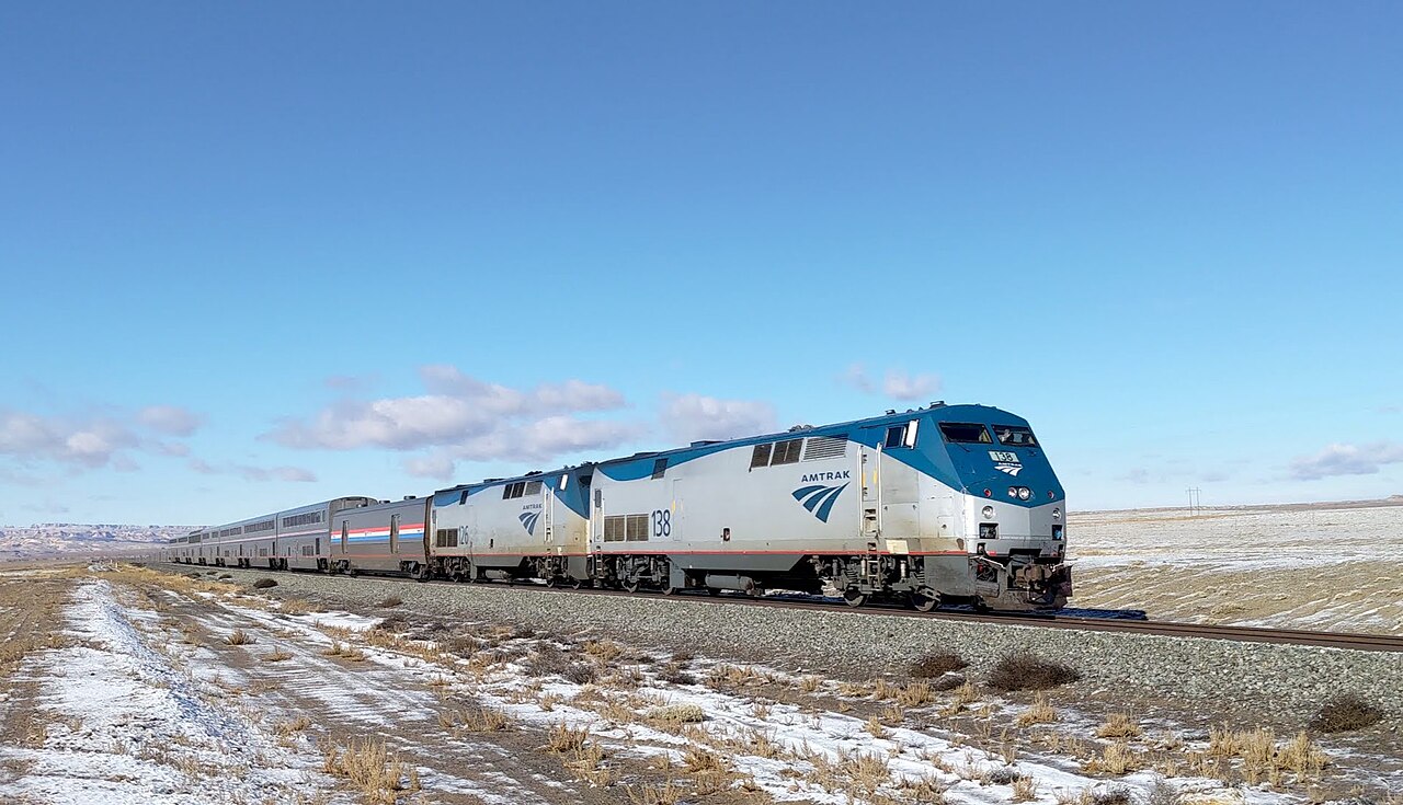
Two nights, seven states: through the Rockies’ canyons and over Donner Pass, widely called America’s most beautiful train ride.
The Sightseer Lounge is the whole argument: wraparound glass, docent commentary through Colorado, strangers trading wine and life stories as the walls of rock close in. West of Denver the train winds up the Front Range and slips beneath the Continental Divide, then shadows the Colorado River for hours through gorges no road reaches. A desert night across Utah and Nevada ends with a slow, pine-scented crawl over the Sierra crest and the drop to San Francisco Bay.
Stations
- 0 kmChicago Union Station
- 45 kmNaperville
- 167 kmPrinceton
- 260 kmGalesburg
- 329 kmBurlington
- 374 kmMount Pleasant
Show 24 more stations
- 448 kmOttumwa
- 578 kmOsceola
- 631 kmCreston
- 803 kmOmaha
- 891 kmLincoln
- 1,046 kmHastings
- 1,134 kmHoldrege
- 1,258 kmMcCook
- 1,541 kmFort Morgan
- 1,665 kmUnion Station
- 1,762 kmFraser-Winter Park
- 1,782 kmGranby
- 1,954 kmGlenwood Springs
- 2,094 kmGrand Junction
- 2,261 kmGreen River
- 2,374 kmHelper
- 2,492 kmProvo
- 2,562 kmSalt Lake City
- 2,984 kmElko
- 3,199 kmWinnemucca
- 3,478 kmReno
- 3,533 kmTruckee
- 3,633 kmColfax
- 3,689 kmRoseville
- 3,717 kmSacramento Valley Station
- 3,738 kmDavis
- 3,809 kmMartinez
- 3,840 kmRichmond
- 3,852 kmEmeryville
The stations OpenStreetMap lists for this service, in order, with the distance along the line as drawn here. A train may skip some of them.
Along the way
- Mississippi crossing at Burlington
- Front Range climb out of Denver
- Moffat Tunnel under the Divide
- Glenwood Canyon river miles
- Ruby Canyon into Utah
- Sierra crest above Donner Lake
How this line was checked
- Line drawn from OpenStreetMap relation 8440301 — the same nodes OpenStreetMap holds for this railway, thinned to within 80 m of them
- Checked against OpenStreetMap: 99.7% of this line lies within 250 m of real track (median 19 m); the longest stretch away from it is 5.5 km
- The operator publishes this line's timetable: Amtrak schedules — a place to look it up, not a check of our drawing
- Wikipedia has an article for this line
- See for yourself: open this line on the map with OpenStreetMap's own railway drawn underneath it
Questions and answers
How long is the California Zephyr?
The California Zephyr runs 3,924 km from Chicago to San Francisco.
How long does the California Zephyr take?
The fastest scheduled journey is ≈ 52 h for the 3,924 km. That is an average of 75 km/h end to end. The line's top service speed is 127 km/h.
Who runs the California Zephyr?
Amtrak.
How old is the California Zephyr?
The line has been in service since 1949. That is the year the atlas dates it from: for a modern brand running over an older railway, it is the railway's date, not the brand's.
How high does the California Zephyr climb?
2,816 m above sea level at its highest point.
More scenic routes
- Glacier Express
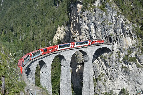
“The world’s slowest express”: 291 bridges, 91 tunnels and the 2,033 m Oberalp Pass at an average of 36 km/h.
Wikipedia ↗ - Bernina Express
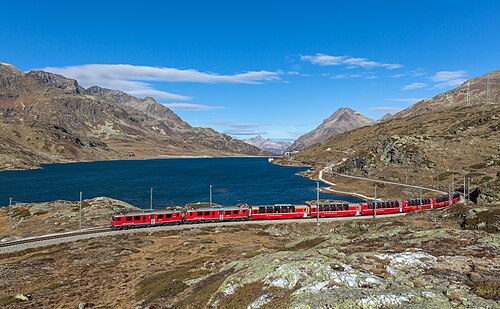
A UNESCO World Heritage railway: 7 % grades with no rack, the Brusio spiral, and the highest rail crossing of the Alps at 2,253 m.
Wikipedia ↗ - Bergensbanen
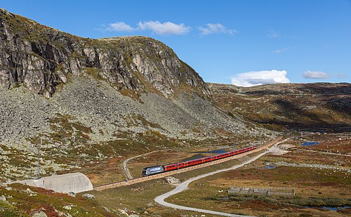
Northern Europe’s highest main line: over the bare Hardangervidda plateau at 1,237 m, through 182 tunnels.
Wikipedia ↗ - West Highland Line
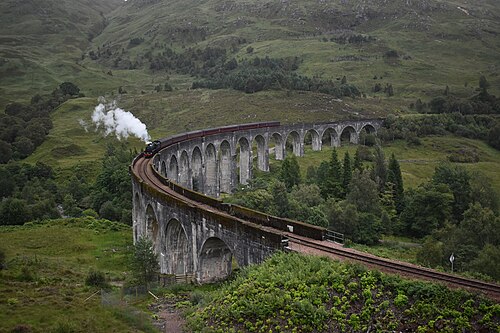
Regularly voted the world’s most scenic railway: around Rannoch Moor and over the 21-arch Glenfinnan Viaduct of film fame.
Wikipedia ↗
More train routes in United States.