
Scenic route
Coast Starlight
Seattle → Los Angeles · United States
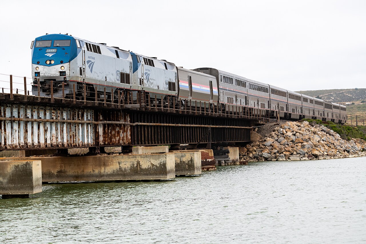
Cascade volcanoes, Bay fog and a hundred miles of Pacific surf from the parlour car’s armchairs.
Stitched together from the Southern Pacific’s Coast Daylight and Cascade routes when Amtrak began in 1971, it remains the network’s most complete scenery sampler. The rails skirt Puget Sound, cross the Willamette Valley, then climb to the trip’s 1,543 m summit at Grass Lake beneath Mount Shasta before spiralling down the Sacramento River canyon. South of San Luis Obispo comes the finale: a long shoreline sweep past Vandenberg where no public road reaches the track.
Along the way
- Puget Sound shoreline
- Willamette Valley farmland
- Cascade crossing above Odell Lake
- Mount Shasta from Grass Lake — 1,543 m
- Sacramento River canyon
- Vandenberg surf coast
How this line was checked
- The 290 km this route shares with OpenStreetMap relation 10945389 is drawn from that relation's own nodes, thinned to within under 25 m of them
- Checked against OpenStreetMap: 85.1% of this line lies within 250 m of real track (median 21 m); the longest stretch away from it is 17.5 km
- The operator publishes this line's timetable: Amtrak schedules — a place to look it up, not a check of our drawing
- Wikipedia has an article for this line
- See for yourself: open this line on the map with OpenStreetMap's own railway drawn underneath it
Questions and answers
How long is the Coast Starlight?
The Coast Starlight runs 2,216 km from Seattle to Los Angeles.
How long does the Coast Starlight take?
The fastest scheduled journey is ≈ 35 h for the 2,216 km. That is an average of 63 km/h end to end. The line's top service speed is 127 km/h.
Who runs the Coast Starlight?
Amtrak.
How old is the Coast Starlight?
The line has been in service since 1971. That is the year the atlas dates it from: for a modern brand running over an older railway, it is the railway's date, not the brand's.
How high does the Coast Starlight climb?
1,543 m above sea level at its highest point.
More scenic routes
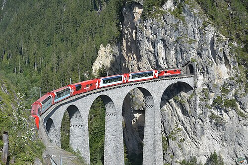
- Glacier Express
“The world’s slowest express”: 291 bridges, 91 tunnels and the 2,033 m Oberalp Pass at an average of 36 km/h.
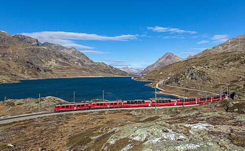
Wikipedia ↗ - Bernina Express
A UNESCO World Heritage railway: 7 % grades with no rack, the Brusio spiral, and the highest rail crossing of the Alps at 2,253 m.
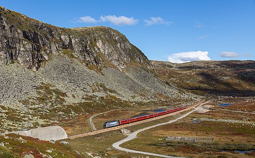
Wikipedia ↗ - Bergensbanen
Northern Europe’s highest main line: over the bare Hardangervidda plateau at 1,237 m, through 182 tunnels.
Wikipedia ↗ - West Highland Line
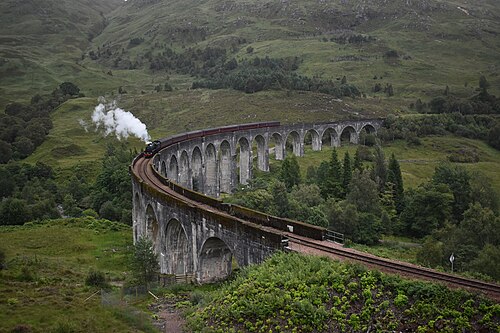
Regularly voted the world’s most scenic railway: around Rannoch Moor and over the 21-arch Glenfinnan Viaduct of film fame.
Wikipedia ↗
More train routes in United States.