
Night train route
Empire Builder
Chicago → Seattle · United States
View on the map →Wikipedia ↗Stations · 41
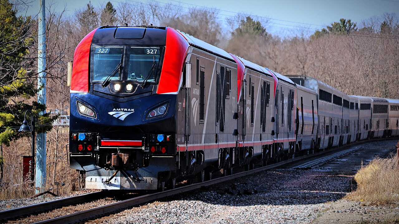
Two nights tracing the Great Northern’s empire: skirting Glacier National Park along the Montana Rockies.
Named for James J. Hill, the magnate who drove the Great Northern through to Puget Sound, the train has carried his nickname since 1929. It hugs the upper Mississippi below Wisconsin’s bluffs, crosses the North Dakota prairie in darkness, then gives a whole afternoon to the mountains, topping the Continental Divide at Marias Pass: at 1,589 m the lowest crossing between Canada and New Mexico. At Spokane a Portland section drops away to run the Columbia River Gorge.
Stations
- 0 kmChicago Union Station
- 28 kmGlenview
- 138 kmMilwaukee
- 241 kmColumbus
- 286 kmPortage
- 314 kmWisconsin Dells
Show 30 more stations
- 386 kmTomah
- 452 kmLa Crosse
- 494 kmWinona
- 594 kmRed Wing
- 658 kmSaint Paul Union Depot
- 778 kmSaint Cloud
- 883 kmStaples
- 982 kmDetroit Lakes
- 1,061 kmFargo
- 1,181 kmGrand Forks
- 1,317 kmDevils Lake
- 1,409 kmRugby
- 1,507 kmMinot
- 1,593 kmStanley
- 1,699 kmWilliston
- 1,870 kmWolf Point
- 1,949 kmGlasgow
- 2,054 kmMalta
- 2,194 kmHavre
- 2,362 kmShelby
- 2,401 kmCut Bank
- 2,454 kmBrowning
- 2,475 kmEast Glacier Park
- 2,522 kmEssex
- 2,565 kmWest Glacier
- 2,601 kmWhitefish
- 2,763 kmLibby
- 2,898 kmSandpoint
- 3,004 kmSpokane
- 3,195 kmEphrata
- 3,279 kmWenatchee
- 3,314 kmLeavenworth
- 3,470 kmEverett
- 3,496 kmEdmonds
- 3,524 kmSeattle King Street
The stations OpenStreetMap lists for this service, in order, with the distance along the line as drawn here. A train may skip some of them.
Along the way
- Upper Mississippi bluffs
- North Dakota prairie
- Marias Pass — 1,589 m
- Glacier National Park’s southern edge
- Cascade Tunnel descent to Puget Sound
How this line was checked
- Line drawn from OpenStreetMap relation 1809794 — the same nodes OpenStreetMap holds for this railway, thinned to within 55 m of them
- Checked against OpenStreetMap: the whole line lies on real track, a median 12 m from it
- Checked against the running timetable via Amtrak: our line sits 0.1 km from the shape of the Empire Builder to Seattle
- Wikipedia has an article for this line
- See for yourself: open this line on the map with OpenStreetMap's own railway drawn underneath it
Questions and answers
How long is the Empire Builder?
The Empire Builder runs 3,550 km from Chicago to Seattle.
How long does the Empire Builder take?
The fastest scheduled journey is ≈ 46 h for the 3,550 km. That is an average of 77 km/h end to end. The line's top service speed is 127 km/h.
Who runs the Empire Builder?
Amtrak.
How old is the Empire Builder?
The line has been in service since 1929. That is the year the atlas dates it from: for a modern brand running over an older railway, it is the railway's date, not the brand's.
How high does the Empire Builder climb?
1,589 m above sea level at its highest point.
More night train routes
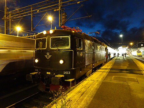
- EuroNight
Scandinavia’s night-train revival: across the Öresund while you sleep, into Germany by breakfast.
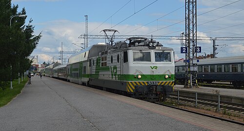
Wikipedia ↗ - Santa Claus Express
Rolls out of Helsinki by night and crosses into Lapland by morning: sleepers and car carriers bound for the Arctic Circle.
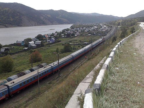
- Trans-Siberian Railway
The longest railway on Earth: 9,289 km, eight time zones and seven nights between Moscow and the Pacific.
Wikipedia ↗ - Mumbai Rajdhani
India’s first Rajdhani: the overnight flagship linking the capital with the financial capital, now in bright Tejas livery.
Wikipedia ↗
All sleepers serving these cities: night trains from Chicago · all 117 night trains.
More train routes in United States.