
Classic route
Lunéville–Saint-Dié line
Saint-Dié-des-Vosges → Lunéville · France
View on the map →Wikipedia (FR) ↗Stations · 11
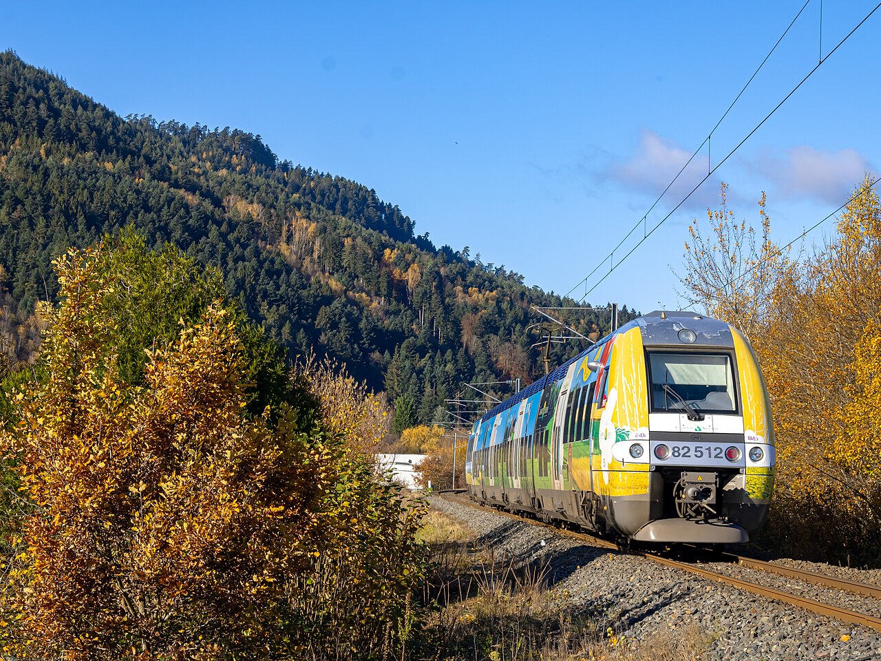
Fifty km of electrified single track up the Meurthe into the Vosges — never doubled, because unlike its neighbours it carried no strategic traffic.
Stations
- 0 kmSaint-Dié-des-Vosges
- 7 kmSaint-Michel-sur-Meurthe
- 12 kmÉtival-Clairefontaine
- 17 kmRaon-l'Étape
- 22 kmBertrichamps
- 26 kmBaccarat
- 32 kmAzerailles
- 35 kmMénil Flin
- 38 kmChenevières
- 40 kmSaint-Clément - Laronxe
- 50 kmLunéville
The stations OpenStreetMap lists for this service, in order, with the distance along the line as drawn here. A train may skip some of them.
How this line was checked
- Line drawn from OpenStreetMap relation 1061580 — the same nodes OpenStreetMap holds for this railway, thinned to within under 25 m of them
- Checked against OpenStreetMap: the whole line lies on real track, a median 3 m from it
- Checked against the running timetable via ÖBB Scotty: our line sits under 100 m from the shape of TGV 2596
- Wikipedia has an article for this line
- See for yourself: open this line on the map with OpenStreetMap's own railway drawn underneath it
Questions and answers
How long is the Lunéville–Saint-Dié line?
The Lunéville–Saint-Dié line runs 50 km from Saint-Dié-des-Vosges to Lunéville.
How long does the Lunéville–Saint-Dié line take?
The fastest scheduled journey is ≈ 45 min for the 50 km. That is an average of 67 km/h end to end. The line's top service speed is 120 km/h.
Who runs the Lunéville–Saint-Dié line?
SNCF, with TER Grand Est.
How old is the Lunéville–Saint-Dié line?
The line has been in service since 1864. That is the year the atlas dates it from: for a modern brand running over an older railway, it is the railway's date, not the brand's.
More classic routes
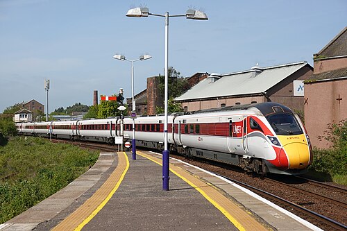
- LNER Azuma
The Flying Scotsman’s route since 1862: and where Mallard set the never-beaten steam record of 203 km/h in 1938.
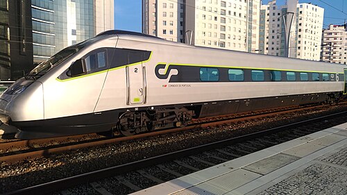
Wikipedia ↗ - Alfa Pendular
A tilting Pendolino leaning through the curves of the 19th-century Linha do Norte between Portugal’s two great cities.
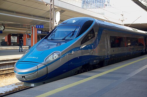
Wikipedia ↗ - EIP Pendolino
Rides Poland’s 1970s Central Main Line (CMK), engineered decades ahead of its time and now being upgraded to 250 km/h.
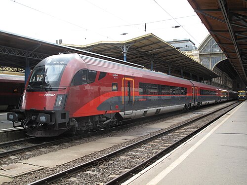
Wikipedia ↗ - Railjet
Follows the old Orient Express alignment down the Danube plain: centre to centre faster than any flight.
Wikipedia ↗
More train routes in France.