


Classic route
Southwest Chief
Chicago → Los Angeles · United States
Heir to the Santa Fe Super Chief, “Train of the Stars”: crests 2,388 m Raton Pass on the old Santa Fe Trail.
- Distance
- 3,645 km
- Fastest time
- 43 h
- Average speed
- 85 km/h
- Top speed
- 145 km/h
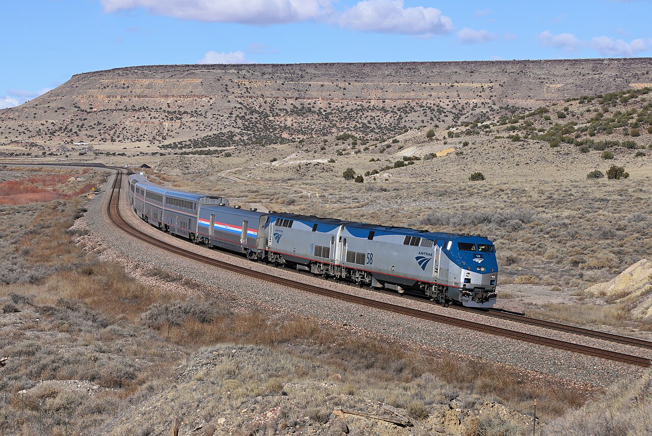
Amtrak’s south-western flagship follows the old Atchison, Topeka & Santa Fe main line, a route once garnished with Fred Harvey’s civilising trackside hotels. The middle day is the epic: Kansas grain elevators give way to the Sangre de Cristo peaks, adobe New Mexico and the squeeze through Apache Canyon, where the double-deck cars all but brush the rock. On the final morning the train coasts down Cajon Pass into the Los Angeles basin.
Stations
- 0 kmChicago Union Station +14
- 46 kmNaperville +2
- 133 kmMendota +1
- 167 kmPrinceton +2
- 260 kmGalesburg +2
- 351 kmFort Madison
Show 21 more stations
- 477 kmLa Plata
- 699 kmKansas City Union Station +1
- 763 kmLawrence
- 804 kmTopeka
- 1,020 kmNewton
- 1,073 kmHutchinson
- 1,266 kmDodge City
- 1,346 kmGarden City
- 1,506 kmLamar
- 1,591 kmLa Junta
- 1,722 kmTrinidad
- 1,758 kmRaton
- 1,934 kmLas Vegas
- 2,037 kmLamy
- 2,144 kmAlbuquerque
- 2,401 kmGallup
- 2,605 kmWinslow
- 2,699 kmFlagstaff
- 2,975 kmKingman
- 3,073 kmNeedles
- 3,338 kmBarstow
- 3,397 kmVictorville
- 3,467 kmSan Bernardino
- 3,484 kmRiverside–Downtown
- 3,542 kmFullerton +1
- 3,583 kmLos Angeles Union Station +3
The stations OpenStreetMap lists for this service, in order, with the distance along the line as drawn here. A train may skip some of them. A +N after a station: N other routes on this map stop or end there, and the map draws it as a station where lines meet.
Along the way
- Mississippi crossing at Fort Madison
- Kansas grain elevators
- Raton Pass at 2,388 m
- Apache Canyon squeeze
- Gallup’s red mesas
- Cajon Pass descent
How this line was checked
- Line drawn from OpenStreetMap relation 4720714: the same nodes OpenStreetMap holds for this railway, thinned to within 36 m of them
- Checked against OpenStreetMap: 99.8% of this line lies within 250 m of real track (median 8 m); the longest stretch away from it is 5.5 km
- Checked against the running timetable via Amtrak: our line sits under 100 m from the shape of the Southwest Chief to Los Angeles
- Wikipedia has an article for this line
Questions and answers
How long is the Southwest Chief?
The Southwest Chief runs 3,645 km from Chicago to Los Angeles.
How long does the Southwest Chief take?
The fastest scheduled journey is 43 h for the 3,645 km. That is an average of 85 km/h end to end. The line's top service speed is 145 km/h.
Who runs the Southwest Chief?
Amtrak, with Superliner.
How old is the Southwest Chief?
The line has been in service since 1936. That is the year the atlas dates it from: for a modern brand running over an older railway, it is the railway's date, not the brand's.
How high does the Southwest Chief climb?
2,388 m above sea level at its highest point.
More classic routes
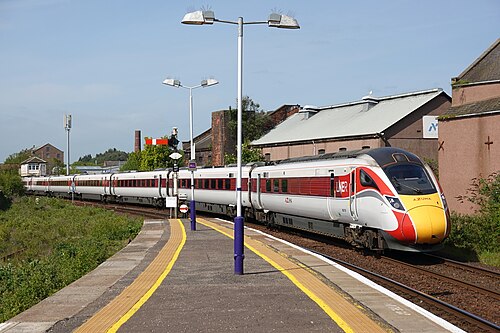
- LNER Azuma
The Flying Scotsman’s route since 1862, and where Mallard set the never-beaten steam record of 203 km/h in 1938.
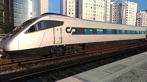
Wikipedia ↗ - Alfa Pendular
A tilting Pendolino leaning through the curves of the 19th-century Linha do Norte between Portugal’s two great cities.
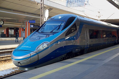
Wikipedia ↗ - EIP Pendolino
Rides Poland’s 1970s Central Main Line (CMK), engineered decades ahead of its time and now being upgraded to 250 km/h.
Wikipedia ↗ - Railjet
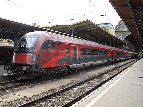
Follows the old Orient Express alignment down the Danube plain: centre to centre faster than any flight.
Wikipedia ↗
More train routes in United States.