
Night train route
City of New Orleans
Chicago → New Orleans · United States
View on the map →Wikipedia ↗Stations · 20
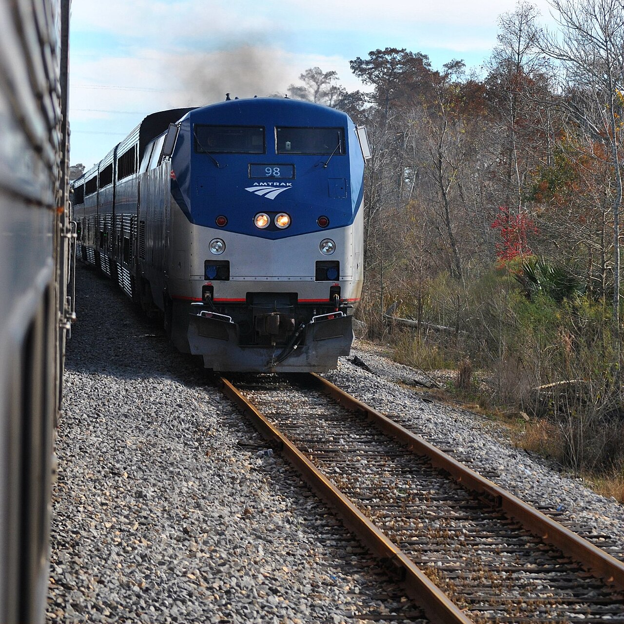
Immortalized in Steve Goodman’s 1971 song: overnight down the Mississippi Delta past Memphis, Yazoo City and the Louisiana bayous.
Stations
- 0 kmChicago Union Station
- 39 kmHomewood
- 92 kmKankakee
- 208 kmChampaign-Urbana
- 279 kmMattoon
- 323 kmEffingham
Show 9 more stations
- 408 kmCentralia
- 498 kmCarbondale
- 654 kmFulton
- 713 kmNewbern-Dyersburg
- 851 kmMemphis Central Station
- 960 kmMarks
- 1,050 kmGreenwood
- 1,134 kmYazoo City
- 1,207 kmJackson
- 1,261 kmHazlehurst
- 1,293 kmBrookhaven
- 1,332 kmMcComb
- 1,417 kmHammond
- 1,503 kmNew Orleans
The stations OpenStreetMap lists for this service, in order, with the distance along the line as drawn here. A train may skip some of them.
How this line was checked
- Line drawn from OpenStreetMap relation 8436201 — the same nodes OpenStreetMap holds for this railway, thinned to within under 25 m of them
- Checked against OpenStreetMap: the whole line lies on real track, a median 5 m from it
- Checked against the running timetable via Amtrak: our line sits under 100 m from the shape of City of New Orleans
- Wikipedia has an article for this line
- See for yourself: open this line on the map with OpenStreetMap's own railway drawn underneath it
Questions and answers
How long is the City of New Orleans?
The City of New Orleans runs 1,500 km from Chicago to New Orleans.
How long does the City of New Orleans take?
The fastest scheduled journey is 19 h 30 min for the 1,500 km. That is an average of 77 km/h end to end. The line's top service speed is 127 km/h.
Who runs the City of New Orleans?
Amtrak, with Superliner.
How old is the City of New Orleans?
The line has been in service since 1947. That is the year the atlas dates it from: for a modern brand running over an older railway, it is the railway's date, not the brand's.
More night train routes
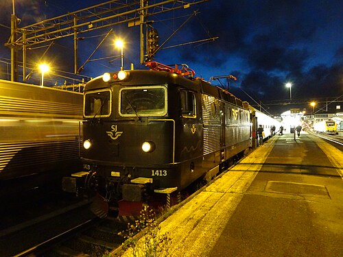
- EuroNight
Scandinavia’s night-train revival: across the Öresund while you sleep, into Germany by breakfast.
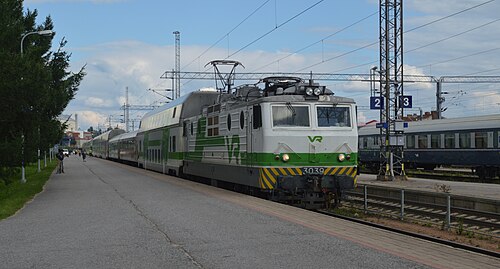
Wikipedia ↗ - Santa Claus Express
Rolls out of Helsinki by night and crosses into Lapland by morning: sleepers and car carriers bound for the Arctic Circle.
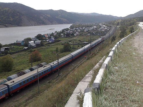
- Trans-Siberian Railway
The longest railway on Earth: 9,289 km, eight time zones and seven nights between Moscow and the Pacific.
Wikipedia ↗ - Mumbai Rajdhani
India’s first Rajdhani: the overnight flagship linking the capital with the financial capital, now in bright Tejas livery.
Wikipedia ↗
All sleepers serving these cities: night trains from Chicago · night trains from New Orleans · all 117 night trains.
More train routes in United States.