
High-speed route
TGV Rhin-Rhône
Lyon → Strasbourg · France
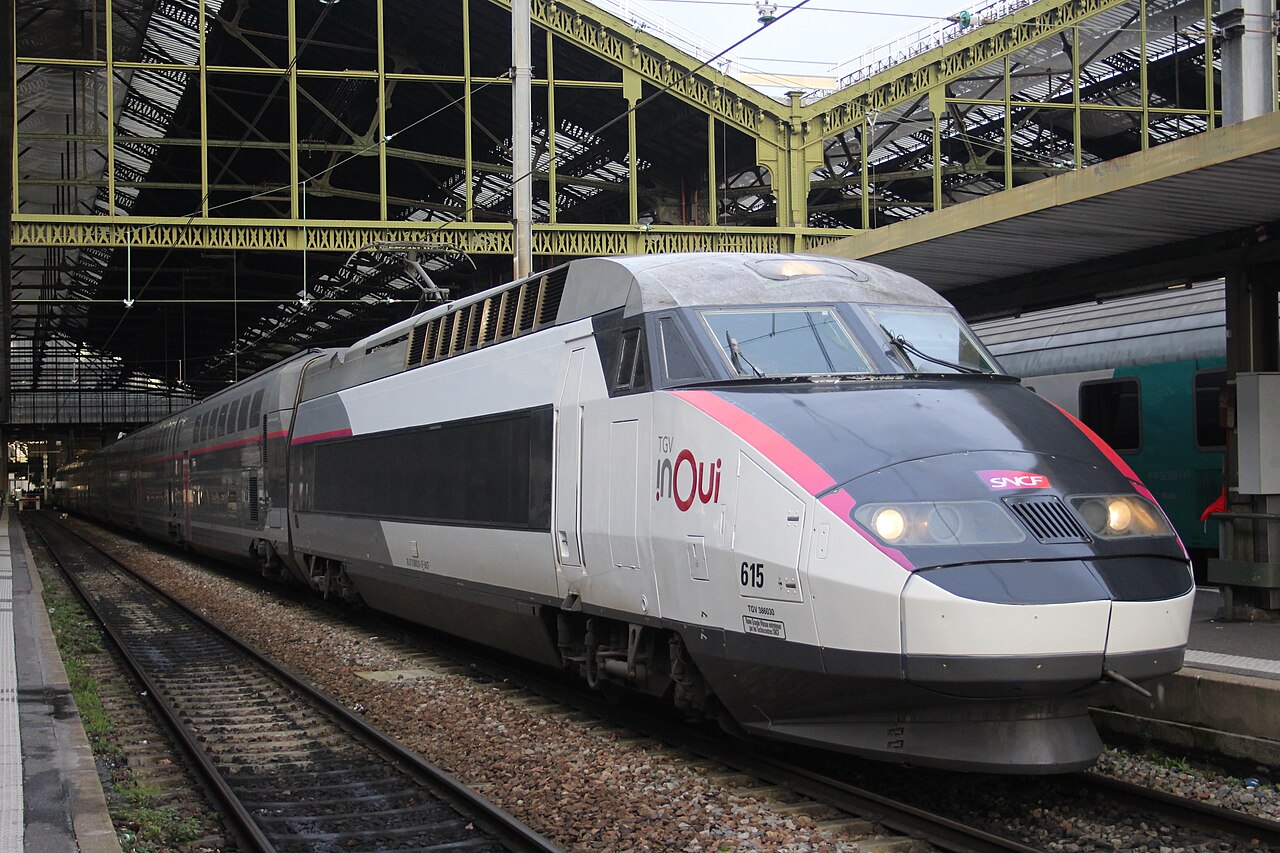
France’s only province-to-province LGV: Burgundy to Alsace without a glance at Paris, Dijon and Belfort on the way to the cathedral city.
How this line was checked
- The 137 km this route shares with OpenStreetMap relation 146142 is drawn from that relation's own nodes, thinned to within under 25 m of them
- Checked against OpenStreetMap: 97.6% of this line lies within 250 m of real track (median 21 m); the longest stretch away from it is 5 km
- The operator publishes this line's timetable: SNCF Connect — a place to look it up, not a check of our drawing
- Wikipedia has an article for this line
- See for yourself: open this line on the map with OpenStreetMap's own railway drawn underneath it
Questions and answers
How long is the TGV Rhin-Rhône?
The TGV Rhin-Rhône runs 490 km from Lyon to Strasbourg.
How long does the TGV Rhin-Rhône take?
The fastest scheduled journey is ≈ 3 h 45 min for the 490 km. That is an average of 131 km/h end to end. The line's top service speed is 320 km/h.
Who runs the TGV Rhin-Rhône?
SNCF Voyageurs, with TGV inOui.
How old is the TGV Rhin-Rhône?
The line has been in service since 2011. That is the year the atlas dates it from: for a modern brand running over an older railway, it is the railway's date, not the brand's.
More high-speed routes
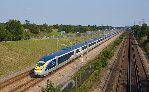
- Eurostar
Drops 75 m below the sea through the 50.5 km Channel Tunnel, 37.9 km of it under the seabed, the longest undersea stretch of any rail tunnel.
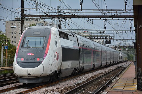
Wikipedia ↗ - TGV inOui
France’s original 1981 LGV forms the first leg; today the TGV holds 320 km/h nearly all the way to the Mediterranean.
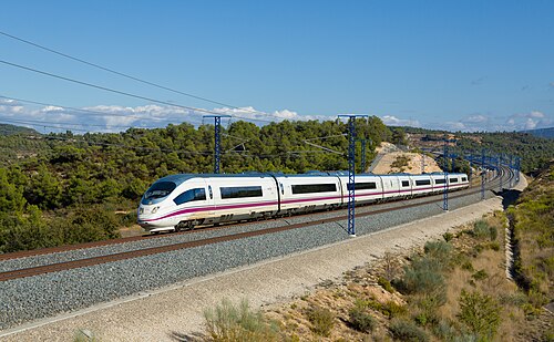
Wikipedia ↗ - AVE
Scheduled at 300 km/h, this line flipped one of the world’s busiest air routes to rail.
Wikipedia ↗ - AVE
Spain’s first AVE, built for Expo ’92 in standard gauge, the line that reset Spanish railways.
Wikipedia ↗
More train routes in France.