
Scenic route
Train Jaune
Villefranche-de-Conflent → Latour-de-Carol · France
View on the map →Wikipedia ↗Stations · 22
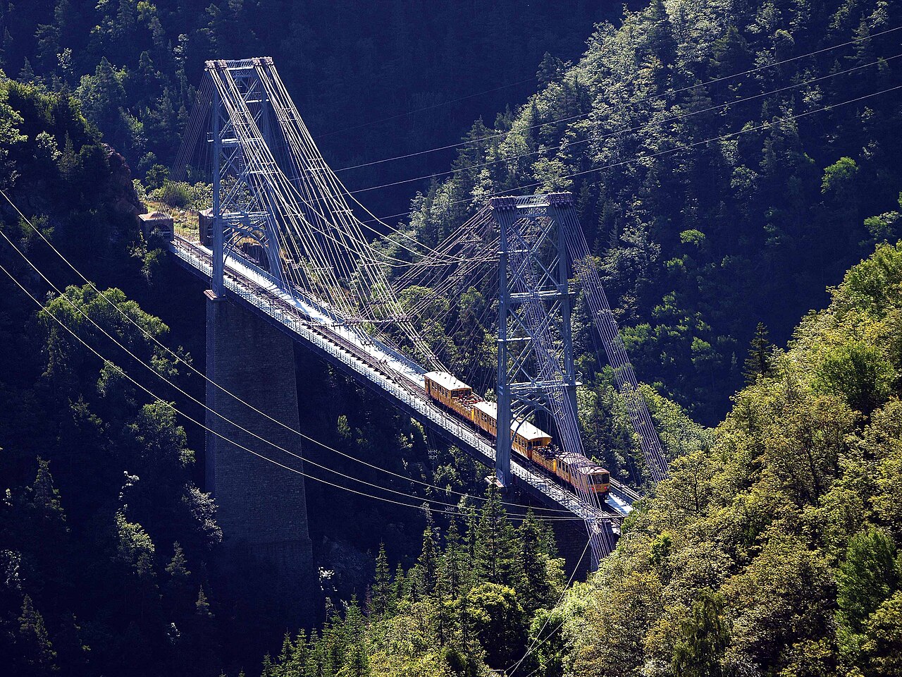
The canary-yellow metre gauge of the Pyrenees: open-air cars over the Séjourné and Gisclard bridges to France’s highest station at 1,593 m.
Stations
- 0 kmVillefranche-de-Conflent / Vernet-les-Bains / Fuilla
- 5 kmSerdinya
- 6 kmJoncet
- 9 kmOlette - Canaveilles-les-Bains
- 11 kmNyer
- 13 kmThuès-les-Bains
Show 11 more stations
- 16 kmThuès-Carança
- 19 kmFontpédrouse Saint-Thomas les Bains
- 22 kmSauto
- 24 kmPlanès
- 27 kmMont-Louis - La Cabanasse
- 29 kmBolquère-Eyne
- 34 kmFont-Romeu-Odeillo-Via
- 41 kmEstavar
- 44 kmSaillagouse
- 46 kmErr
- 47 kmSainte-Léocadie
- 52 kmOsséja
- 54 kmBourg-Madame
- 57 kmUr-les-Escaldes
- 60 kmBéna-Fanès
- 61 kmLatour-de-Carol - Enveitg
The stations OpenStreetMap lists for this service, in order, with the distance along the line as drawn here. A train may skip some of them.
How this line was checked
- Line drawn from OpenStreetMap relation 81958 — the same nodes OpenStreetMap holds for this railway, thinned to within under 25 m of them
- Checked against OpenStreetMap: the whole line lies on real track, a median 4 m from it
- Checked against the running timetable via ÖBB Scotty: our line sits under 100 m from the shape of TER 17313
- Wikipedia has an article for this line
- See for yourself: open this line on the map with OpenStreetMap's own railway drawn underneath it
Questions and answers
How long is the Train Jaune?
The Train Jaune runs 63 km from Villefranche-de-Conflent to Latour-de-Carol.
How long does the Train Jaune take?
The fastest scheduled journey is ≈ 3 h for the 63 km. That is an average of 21 km/h end to end. The line's top service speed is 55 km/h.
Who runs the Train Jaune?
SNCF Voyageurs, with Z 100 yellow railcars.
How old is the Train Jaune?
The line has been in service since 1910. That is the year the atlas dates it from: for a modern brand running over an older railway, it is the railway's date, not the brand's.
More scenic routes
- Glacier Express
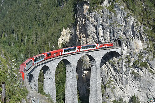
“The world’s slowest express”: 291 bridges, 91 tunnels and the 2,033 m Oberalp Pass at an average of 36 km/h.
Wikipedia ↗ - Bernina Express
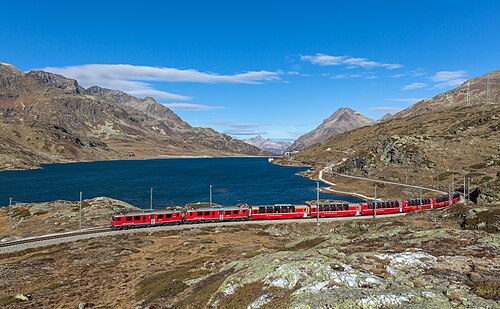
A UNESCO World Heritage railway: 7 % grades with no rack, the Brusio spiral, and the highest rail crossing of the Alps at 2,253 m.
Wikipedia ↗ - Bergensbanen
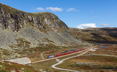
Northern Europe’s highest main line: over the bare Hardangervidda plateau at 1,237 m, through 182 tunnels.
Wikipedia ↗ - West Highland Line
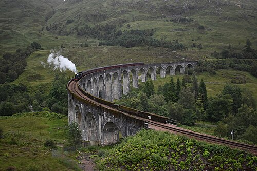
Regularly voted the world’s most scenic railway: around Rannoch Moor and over the 21-arch Glenfinnan Viaduct of film fame.
Wikipedia ↗
More train routes in France.